Polaris 20220720T151116 Parent Directory

Open page with static plots
Start timeEnd timeLast Latitude
& Longitude
Current
(1hr avg)
2022/07/20 15:11:28 GMT
2022/07/20 08:11:28 local
2022/07/20 16:20:46 GMT
2022/07/20 09:20:46 local
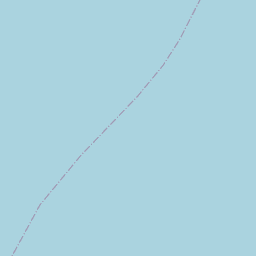
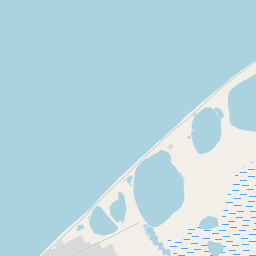
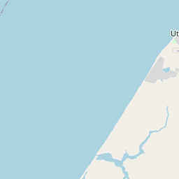
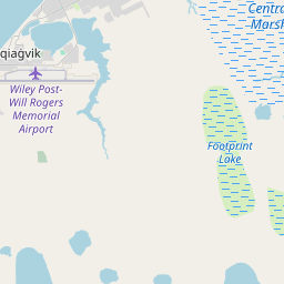
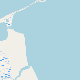
71.3221138326383
-156.77078233269737
-0.0 Amp
Downloads:
shore.nc
shore.mat
shore.kml
shore.kmz
shore.asc
shore.dir
shore.csv
shore.log
argos_24hr.kml
argos_week.kml, argos_month.kml
Elapsed time since start: 25613:50 Elapsed time since last valid data: 25612:41
MarkerMarker
Leaflet © OpenStreetMap contributors
Options for all plots below with a time axis:


Created with Highstock 6.1.3time (UTC)Depth (m)Vertical Plane15:2015:3015:4015:5016:0016:1016:20-5-4-3-2-101ZoomAll1h3h6h12h1d3d1wFromJul 20, 2022ToJul 20, 2022Highcharts.com
Created with Highstock 6.1.3longitude (arcdeg)latitude (arcdeg)Navigation-156.78-156.77-156.76-156.75-156.74-156.73-156.72-156.71-156.7-156.6971.371.302571.30571.307571.3171.312571.31571.317571.3271.322571.32571.327571.33Highcharts.com
Created with Highstock 6.1.3time (UTC)time_fix (s)latitude_fix (arcdeg)longitude_fix (arcdeg)Other15:2015:3015:4015:5016:0016:1016:201 658 328k1 658 330k1 658 332k1 658 334k1 658 336k71.371.3171.3271.33-156.8-156.75-156.7-156.65ZoomAll1h3h6h12h1d3d1wFromJul 20, 2022ToJul 20, 2022Highcharts.com
Created with Highstock 6.1.3time (UTC)battery_charge (Ah)battery_charge15:18:55.127351.831116ZoomAll1h3h6h12h1d3d1wFromJul 20, 2022ToJul 20, 2022Highcharts.com