Parent Directory
Parent Directory
Parent Directory
| Start time | End time | Last Latitude & Longitude |
Current (1hr avg) |
|---|---|---|---|
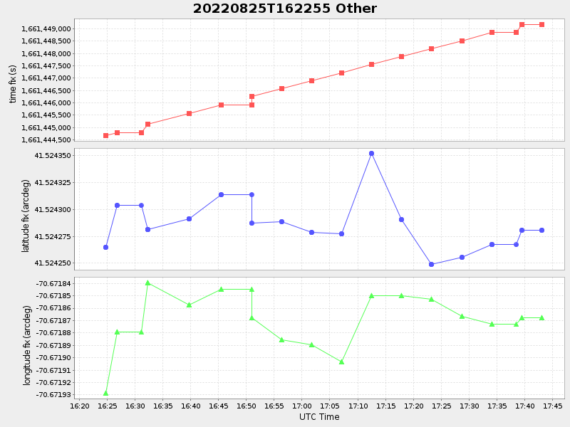
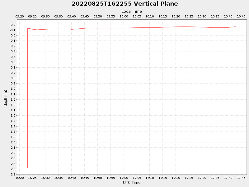
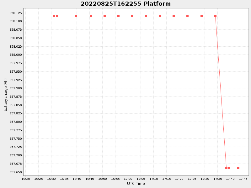
| 2022/08/25 16:23:09 GMT 2022/08/25 09:23:09 local |
2022/08/25 17:43:08 GMT 2022/08/25 10:43:08 local |
41.52428083302186 -70.67186783330268 |
0.42912776840585776 Amp |
| Downloads: | ||||
| shore.nc shore.mat |
shore.kml shore.kmz |
shore.asc shore.dir |
shore.csv shore.log |
argos_24hr.kml argos_week.kml, argos_month.kml |
| Elapsed time since start: ... | Elapsed time since last valid data: ... |