Parent Directory
Parent Directory
Parent Directory
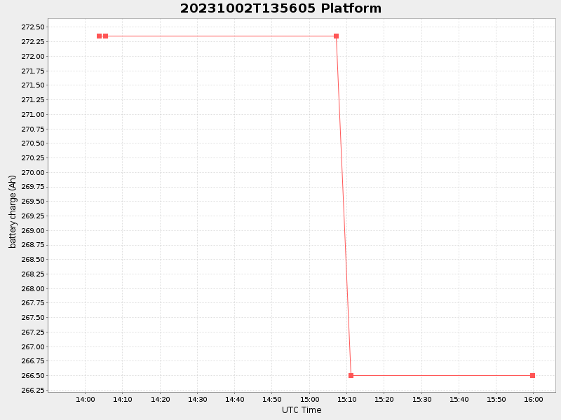
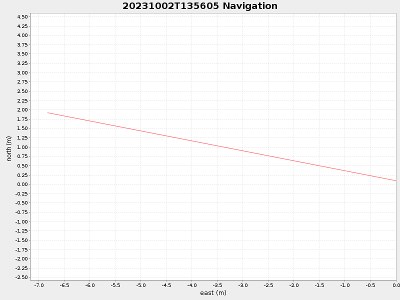
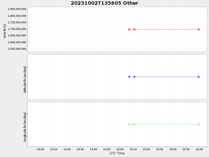
| Start time | End time | Last Latitude & Longitude |
Current (1hr avg) |
|---|---|---|---|
| 2023/10/02 13:56:18 GMT 2023/10/02 06:56:18 local |
2023/10/02 15:59:39 GMT 2023/10/02 08:59:39 local |
41.53667092124077 -70.64643877138471 |
3.06849144760032 Amp |
| Downloads: | ||||
| shore.nc shore.mat |
shore.kml shore.kmz |
shore.asc shore.dir |
shore.csv shore.log |
argos_24hr.kml argos_week.kml, argos_month.kml |
| Elapsed time since start: ... | Elapsed time since last valid data: ... |