Parent Directory
Parent Directory
Parent Directory
| Start time | End time | Last Latitude & Longitude |
Current (1hr avg) |
|---|---|---|---|
| 2024/06/03 14:15:26 GMT 2024/06/03 07:15:26 local |
2024/06/03 19:02:52 GMT 2024/06/03 12:02:52 local |
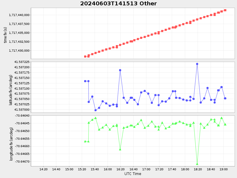
41.53705249969721 -70.64645733262388 |
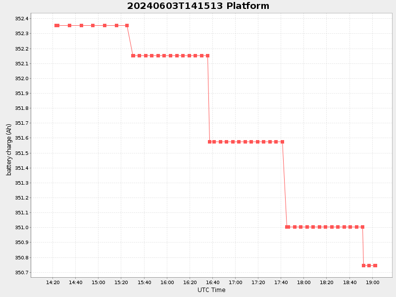
0.25773506317779427 Amp |
| Downloads: | ||||
| shore.nc shore.mat |
shore.kml shore.kmz |
shore.asc shore.dir |
shore.csv shore.log |
argos_24hr.kml argos_week.kml, argos_month.kml |
| Elapsed time since start: ... | Elapsed time since last valid data: ... |