Parent Directory
Parent Directory
Parent Directory
| Start time | End time | Last Latitude & Longitude |
Current (1hr avg) |
|---|---|---|---|
| 2024/06/04 13:16:19 GMT 2024/06/04 06:16:19 local |
2024/06/04 19:11:06 GMT 2024/06/04 12:11:06 local |
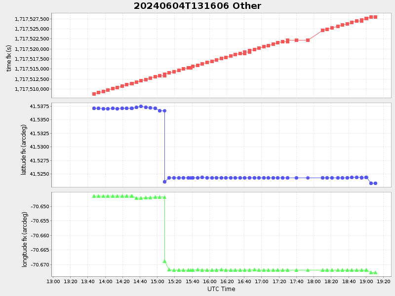
41.5233253331628 -70.6727751662375 |
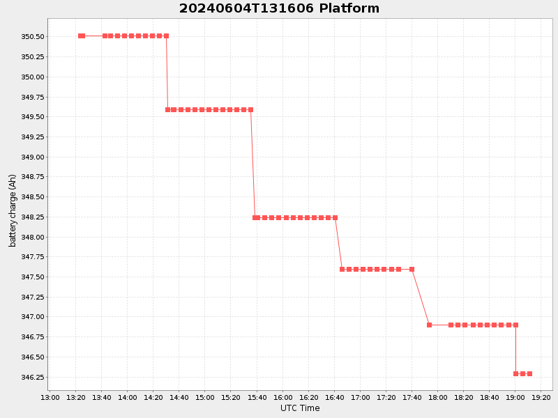
0.5942434427769027 Amp |
| Downloads: | ||||
| shore.nc shore.mat |
shore.kml shore.kmz |
shore.asc shore.dir |
shore.csv shore.log |
argos_24hr.kml argos_week.kml, argos_month.kml |
| Elapsed time since start: ... | Elapsed time since last valid data: ... |