Parent Directory
Parent Directory
Parent Directory
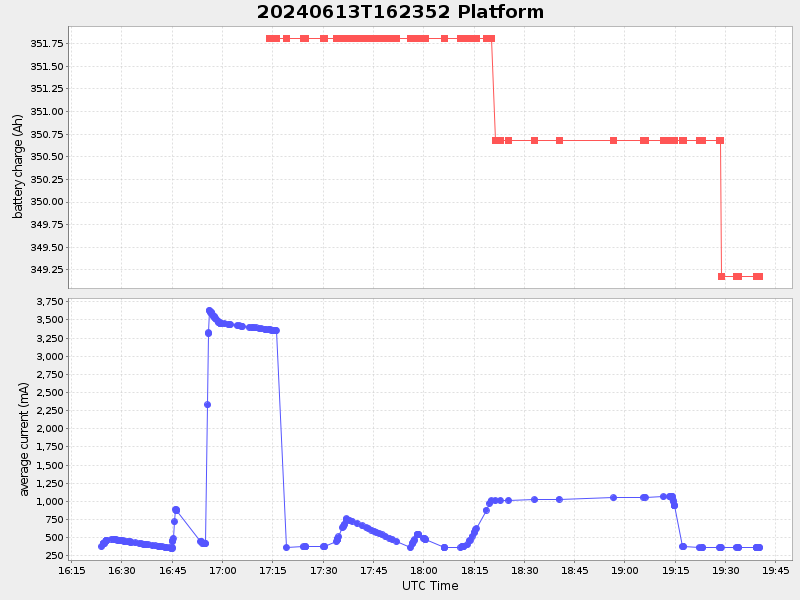
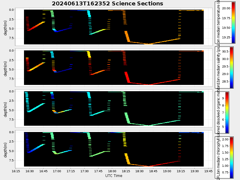
| Start time | End time | Last Latitude & Longitude |
Current (1hr avg) |
|---|---|---|---|
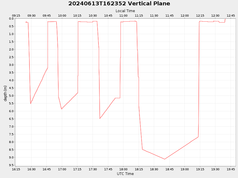
| 2024/06/13 16:24:00 GMT 2024/06/13 09:24:00 local |
2024/06/13 19:40:01 GMT 2024/06/13 12:40:01 local |
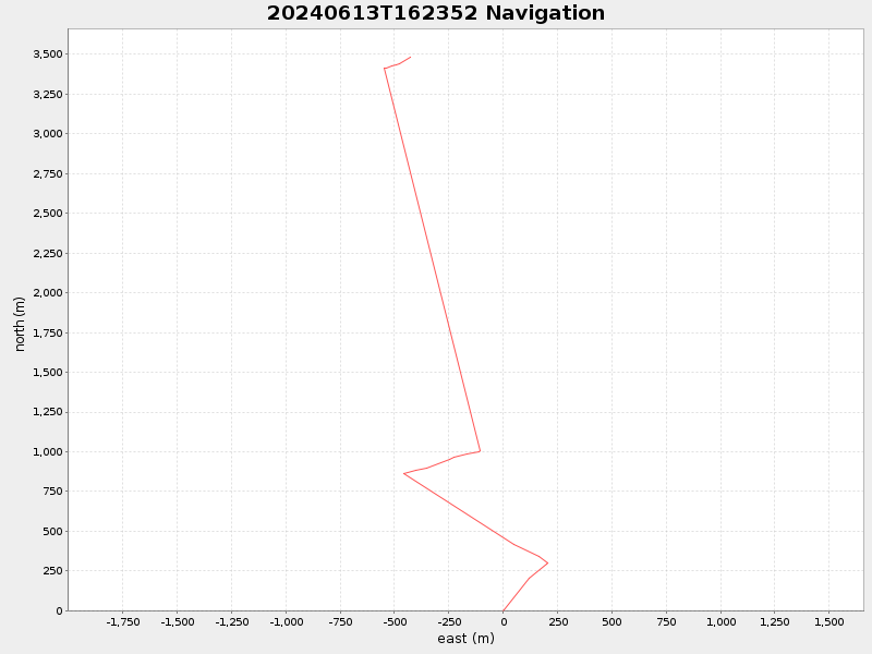
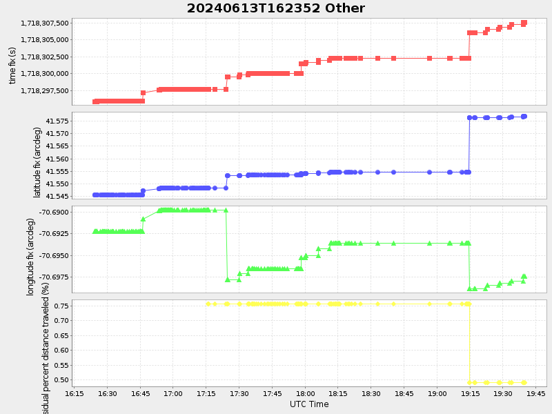
41.576873666491984 -70.6973641665809 |
1.3480103218403192 Amp |
| Downloads: | ||||
| shore.nc shore.mat |
shore.kml shore.kmz |
shore.asc shore.dir |
shore.csv shore.log |
argos_24hr.kml argos_week.kml, argos_month.kml |
| Elapsed time since start: 8930:31 | Elapsed time since last valid data: 8927:15 |