Parent Directory
Parent Directory
Parent Directory
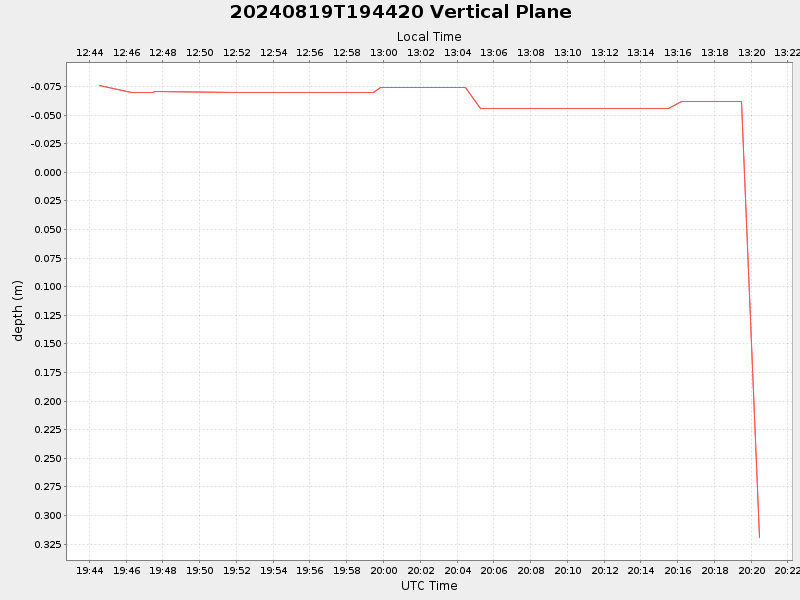
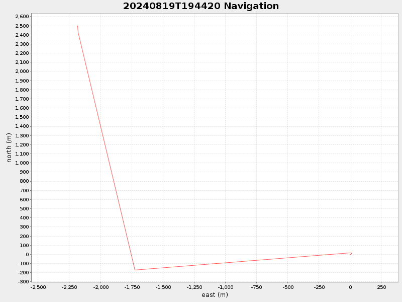
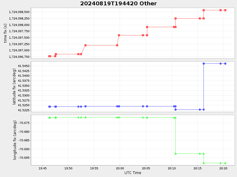
| Start time | End time | Last Latitude & Longitude |
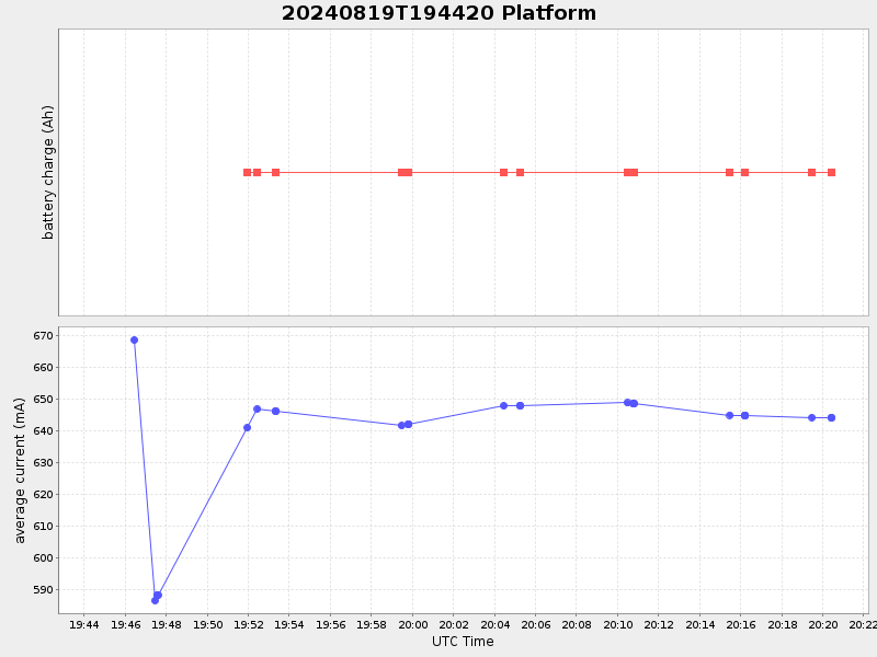
Current (1hr avg) |
|---|---|---|---|
| 2024/08/19 19:44:34 GMT 2024/08/19 12:44:34 local |
2024/08/19 20:20:25 GMT 2024/08/19 13:20:25 local |
41.54680314585496 -70.69804324930124 |
-0.0 Amp |
| Downloads: | ||||
| shore.nc shore.mat |
shore.kml shore.kmz |
shore.asc shore.dir |
shore.csv shore.log |
argos_24hr.kml argos_week.kml, argos_month.kml |
| Elapsed time since start: ... | Elapsed time since last valid data: ... |