Parent Directory
Parent Directory
Parent Directory
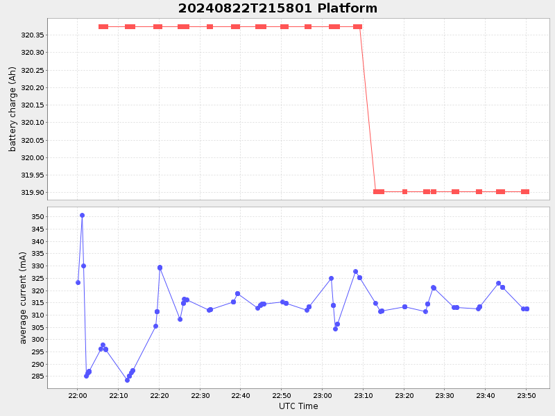
| Start time | End time | Last Latitude & Longitude |
Current (1hr avg) |
|---|---|---|---|
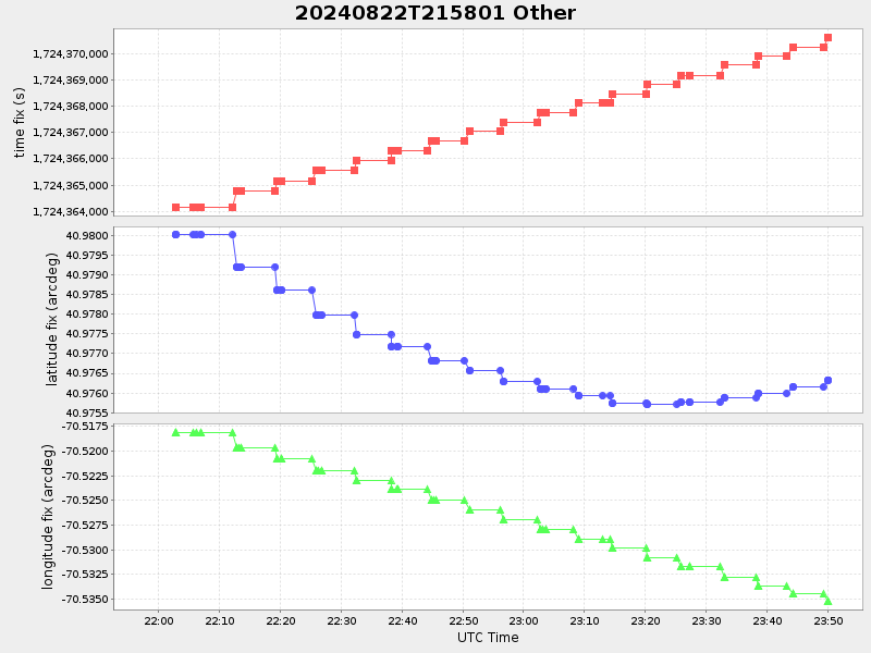
| 2024/08/22 21:58:18 GMT 2024/08/22 14:58:18 local |
2024/08/22 23:50:06 GMT 2024/08/22 16:50:06 local |
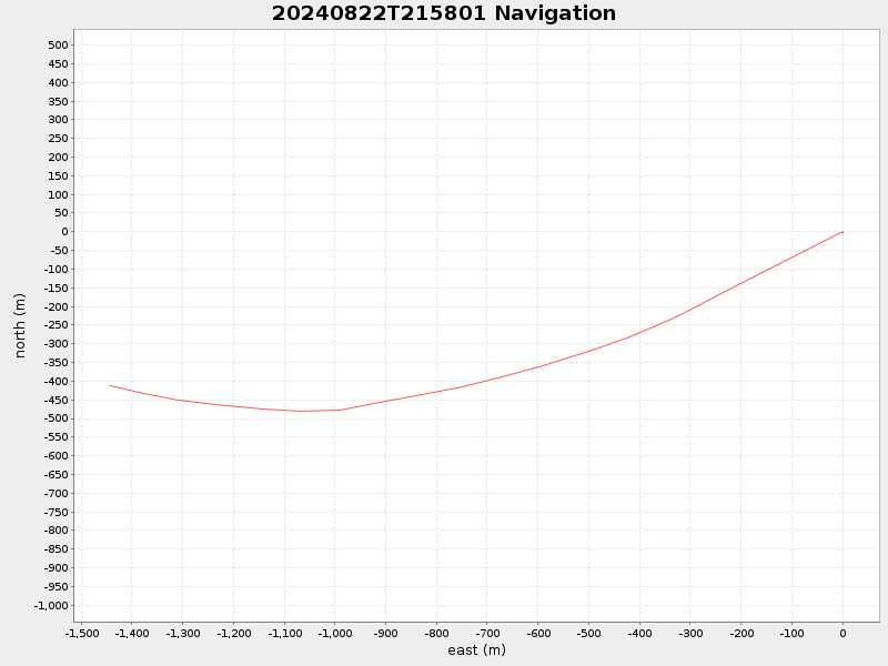
40.9763338331482 -70.5352114994675 |
0.43852484065344705 Amp |
| Downloads: | ||||
| shore.nc shore.mat |
shore.kml shore.kmz |
shore.asc shore.dir |
shore.csv shore.log |
argos_24hr.kml argos_week.kml, argos_month.kml |
| Elapsed time since start: ... | Elapsed time since last valid data: ... |