Polaris 20241003T154759 Parent Directory

Open page with static plots
Start timeEnd timeLast Latitude
& Longitude
Current
(1hr avg)
2024/10/03 15:48:16 GMT
2024/10/03 08:48:16 local
2024/10/03 15:59:54 GMT
2024/10/03 08:59:54 local
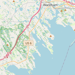
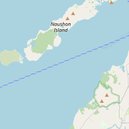
41.53707166666544
-70.6463893325545
-0.0 Amp
Downloads:
shore.nc
shore.mat
shore.kml
shore.kmz
shore.asc
shore.dir
shore.csv
shore.log
argos_24hr.kml
argos_week.kml, argos_month.kml
Elapsed time since start: 6294:55 Elapsed time since last valid data: 6294:44
MarkerMarkerMarker
Leaflet © OpenStreetMap contributors
Options for all plots below with a time axis:


Created with Highstock 6.1.3time (UTC)Depth (m)Vertical Plane15:4915:5015:5115:5215:5315:5415:5515:5615:5715:5815:59-5-4-3-2-101ZoomAll1h3h6h12h1d3d1wFromOct 3, 2024ToOct 3, 2024Highcharts.com
Created with Highstock 6.1.3time (UTC)time_fix (s)latitude_fix (arcdeg)longitude_fix (arcdeg)Other15:551 727 970 8001 727 970 9001 727 971 0001 727 971 1001 727 971 2001 727 971 30041.5370641.5370841.537141.5371241.53714-70.64655-70.6465-70.64645-70.6464-70.64635ZoomAll1h3h6h12h1d3d1wFromOct 3, 2024ToOct 3, 2024Highcharts.com
Created with Highstock 6.1.3longitude (arcdeg)latitude (arcdeg)Navigation-70.6465-70.64648-70.64646-70.64644-70.64642-70.646441.53706541.5370741.53707541.5370841.53708541.5370941.53709541.537141.53710541.5371141.53711541.5371241.53712541.5370641.53713Highcharts.com
Created with Highstock 6.1.3time (UTC)average_current (mA)Platform15:5115:5215:5315:5415:5515:5615:5715:5815:5912345678ZoomAll1h3h6h12h1d3d1wFromOct 3, 2024ToOct 3, 2024Highcharts.com
Created with Highstock 6.1.3time (UTC)battery_charge (Ah)battery_charge15:56:39.4491.765ZoomAll1h3h6h12h1d3d1wFromOct 3, 2024ToOct 3, 2024Highcharts.com