Polaris 20241009T142459 Parent Directory

Open page with static plots
Start timeEnd timeLast Latitude
& Longitude
Current
(1hr avg)
2024/10/09 14:25:13 GMT
2024/10/09 07:25:13 local
2024/10/09 15:58:31 GMT
2024/10/09 08:58:31 local
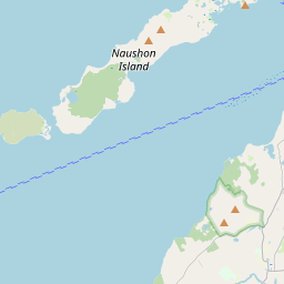
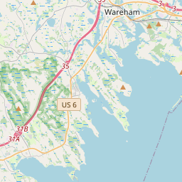
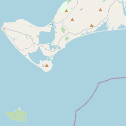
41.5238603332427
-70.671461166074
3.172584968165998 Amp
Downloads:
shore.nc
shore.mat
shore.kml
shore.kmz
shore.asc
shore.dir
shore.csv
shore.log
argos_24hr.kml
argos_week.kml, argos_month.kml
Elapsed time since start: 6136:09 Elapsed time since last valid data: 6134:36
MarkerMarker
Leaflet © OpenStreetMap contributors
Options for all plots below with a time axis:


Created with Highstock 6.1.3time (UTC)Depth (m)Vertical Plane14:3014:4014:5015:0015:1015:2015:3015:4015:50-5-4-3-2-10ZoomAll1h3h6h12h1d3d1wFromOct 9, 2024ToOct 9, 2024Highcharts.com
Created with Highstock 6.1.3longitude (arcdeg)latitude (arcdeg)Navigation-70.67155-70.6715-70.67145-70.6714-70.67135-70.6713-70.67125-70.6712-70.67115-70.671141.523541.5235541.523641.5236541.523741.5237541.523841.5238541.523941.5239541.52441.5240541.524141.5234Highcharts.com
Created with Highstock 6.1.3time (UTC)average_current (mA)Platform14:3014:4014:5015:0015:1015:2015:3015:4015:500ZoomAll1h3h6h12h1d3d1wFromOct 9, 2024ToOct 9, 2024Highcharts.com
Created with Highstock 6.1.3time (UTC)time_fix (s)latitude_fix (arcdeg)longitude_fix (arcdeg)Other14:5015:0015:1015:2015:3015:4015:501 728 484k1 728 486k1 728 488k1 728 490k41.523441.523641.523841.52441.5242-70.6716-70.6714-70.6712-70.671ZoomAll1h3h6h12h1d3d1wFromOct 9, 2024ToOct 9, 2024Highcharts.com
Created with Highstock 6.1.3time (UTC)battery_charge (Ah)battery_charge15:00181.5182182.5183183.5184184.5185185.5ZoomAll1h3h6h12h1d3d1wFromOct 9, 2024ToOct 9, 2024Highcharts.com