Parent Directory
Parent Directory
Parent Directory
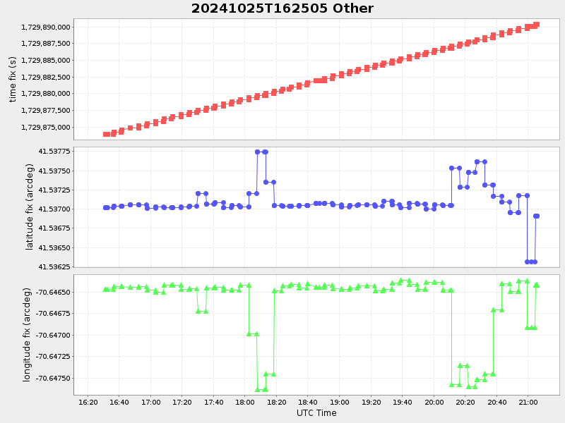
| Start time | End time | Last Latitude & Longitude |
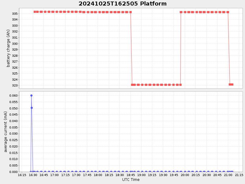
Current (1hr avg) |
|---|---|---|---|
| 2024/10/25 16:25:21 GMT 2024/10/25 09:25:21 local |
2024/10/25 21:05:52 GMT 2024/10/25 14:05:52 local |
41.536907666252894 -70.6464168325703 |
11.95921960898619 Amp |
| Downloads: | ||||
| shore.nc shore.mat |
shore.kml shore.kmz |
shore.asc shore.dir |
shore.csv shore.log |
argos_24hr.kml argos_week.kml, argos_month.kml |
| Elapsed time since start: ... | Elapsed time since last valid data: ... |