Parent Directory
Parent Directory
Parent Directory
| Start time | End time | Last Latitude & Longitude |
Current (1hr avg) |
|---|---|---|---|
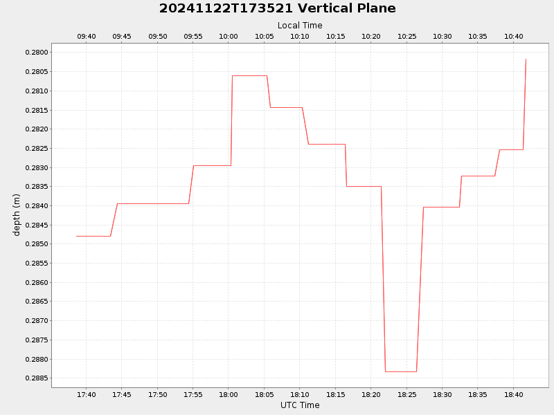
| 2024/11/22 17:38:22 GMT 2024/11/22 09:38:22 local |
2024/11/22 18:41:45 GMT 2024/11/22 10:41:45 local |
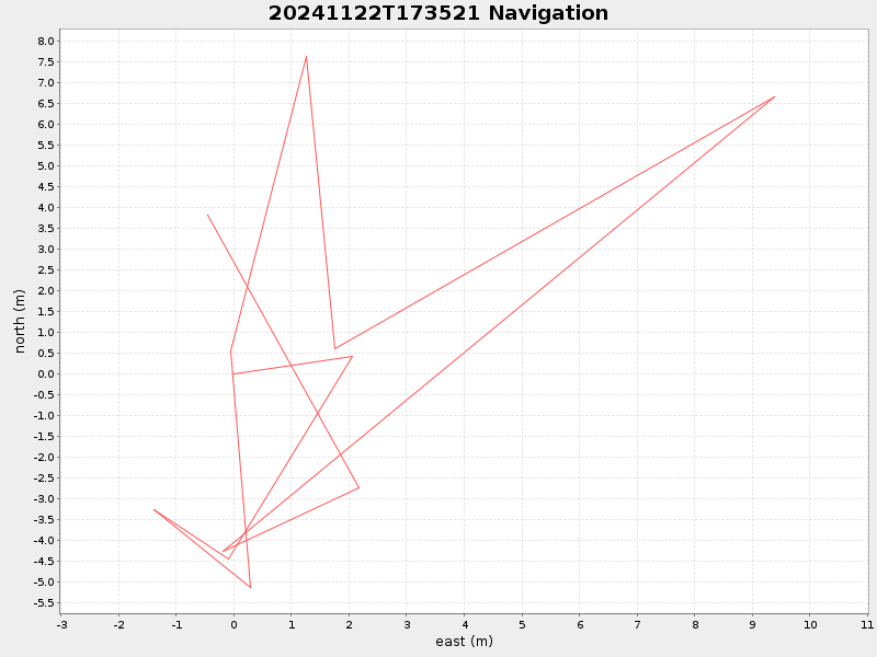
41.5239891663519 -70.67119516639114 |
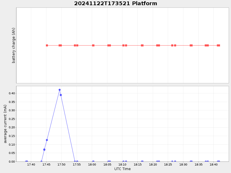
-0.0 Amp |
| Downloads: | ||||
| shore.nc shore.mat |
shore.kml shore.kmz |
shore.asc shore.dir |
shore.csv shore.log |
argos_24hr.kml argos_week.kml, argos_month.kml |
| Elapsed time since start: ... | Elapsed time since last valid data: ... |