Parent Directory
Parent Directory
Parent Directory
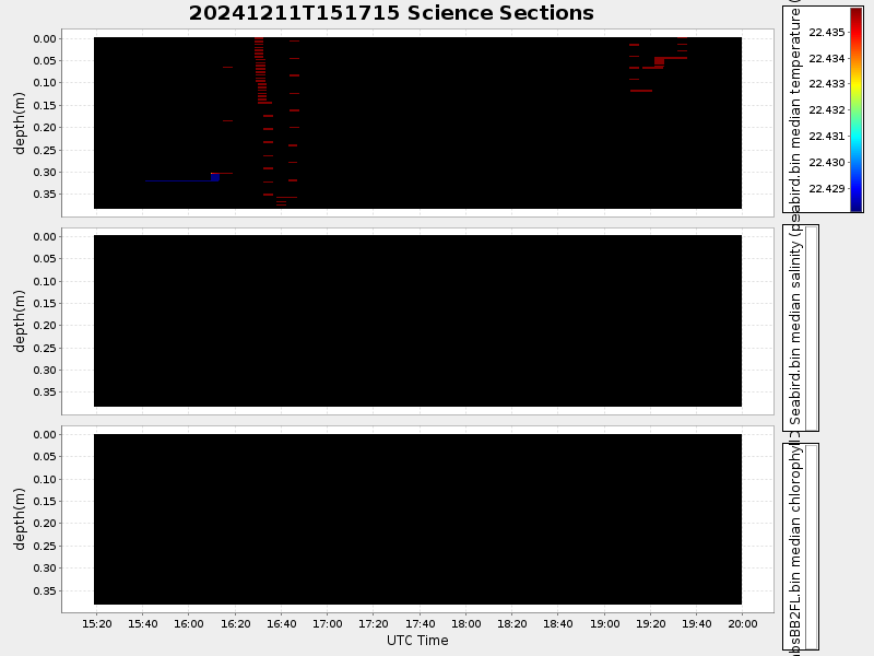
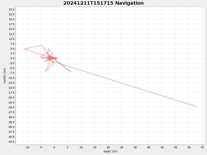
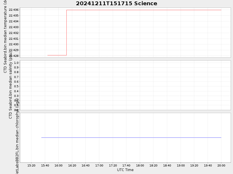
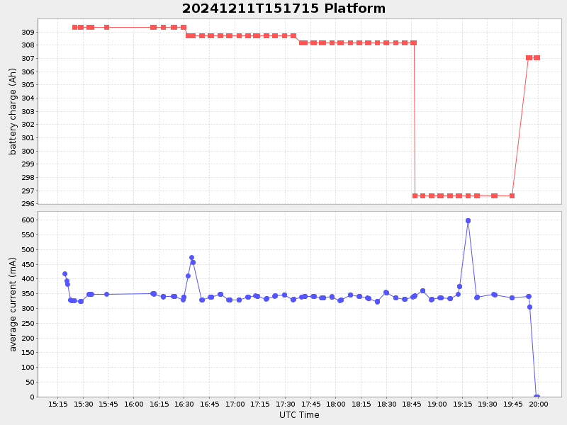
| Start time | End time | Last Latitude & Longitude |
Current (1hr avg) |
|---|---|---|---|
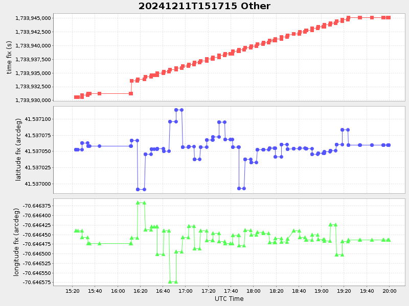
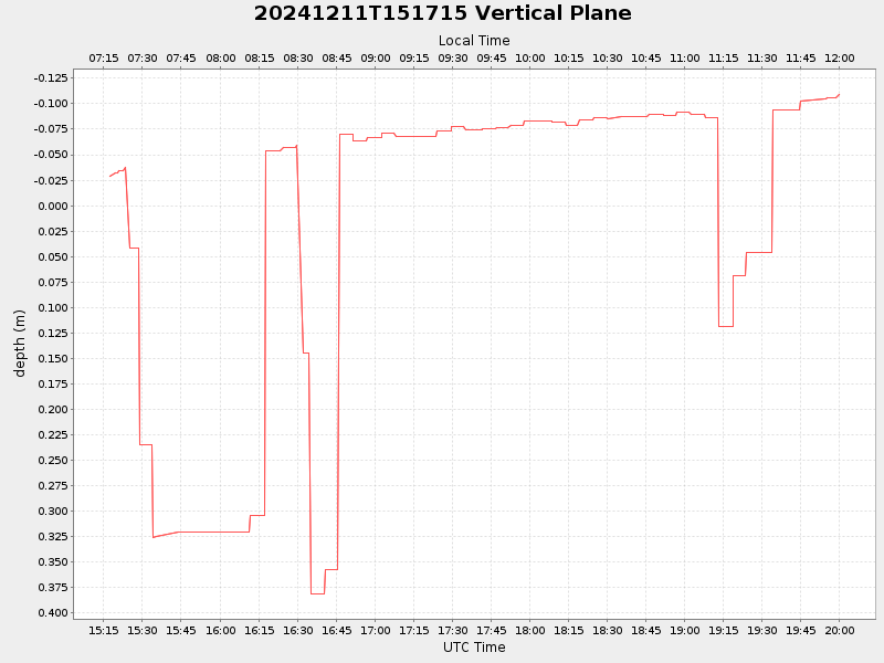
| 2024/12/11 15:17:35 GMT 2024/12/11 07:17:35 local |
2024/12/11 19:59:41 GMT 2024/12/11 11:59:41 local |
41.53683126560112 -70.64580608092338 |
-10.035641666430216 Amp |
| Downloads: | ||||
| shore.nc shore.mat |
shore.kml shore.kmz |
shore.asc shore.dir |
shore.csv shore.log |
argos_24hr.kml argos_week.kml, argos_month.kml |
| Elapsed time since start: ... | Elapsed time since last valid data: ... |