Parent Directory
Parent Directory
Parent Directory
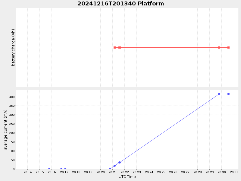
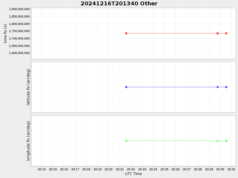
| Start time | End time | Last Latitude & Longitude |
Current (1hr avg) |
|---|---|---|---|
| 2024/12/16 20:13:54 GMT 2024/12/16 12:13:54 local |
2024/12/16 20:30:33 GMT 2024/12/16 12:30:33 local |
41.53723916638266 -70.64601233312625 |
-0.0 Amp |
| Downloads: | ||||
| shore.nc shore.mat |
shore.kml shore.kmz |
shore.asc shore.dir |
shore.csv shore.log |
argos_24hr.kml argos_week.kml, argos_month.kml |
| Elapsed time since start: 4781:26 | Elapsed time since last valid data: 4781:09 |