Polaris 20241217T150515 Parent Directory

Open page with static plots
Start timeEnd timeLast Latitude
& Longitude
Current
(1hr avg)
2024/12/17 15:11:11 GMT
2024/12/17 07:11:11 local
2024/12/17 15:18:02 GMT
2024/12/17 07:18:02 local
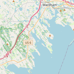
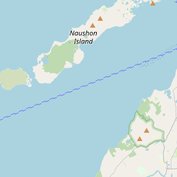
41.537042833045206
-70.64645533325942
-0.0 Amp
Downloads:
shore.nc
shore.mat
shore.kml
shore.kmz
shore.asc
shore.dir
shore.csv
shore.log
argos_24hr.kml
argos_week.kml, argos_month.kml
Elapsed time since start: 4756:40 Elapsed time since last valid data: 4756:33
Leaflet © OpenStreetMap contributors
Options for all plots below with a time axis:


Created with Highstock 6.1.3longitude (arcdeg)latitude (arcdeg)Navigation-70.64645-70.64644-70.64643-70.64642-70.64641-70.646441.5370407541.53704141.5370412541.537041541.5370417541.53704241.5370422541.537042541.5370427541.53704341.5370432541.5370435Highcharts.com
Created with Highstock 6.1.3time (UTC)time_fix (s)latitude_fix (arcdeg)longitude_fix (arcdeg)Other15:151 734 448 2001 734 448 4001 734 448 6001 734 448 80041.5370441.53704141.53704241.53704341.537044-70.64646-70.64644-70.64642-70.6464-70.64638ZoomAll1h3h6h12h1d3d1wFromDec 17, 2024ToDec 17, 2024Highcharts.com
Created with Highstock 6.1.3time (UTC)battery_charge (Ah)battery_charge15:11:38.921303.386658ZoomAll1h3h6h12h1d3d1wFromDec 17, 2024ToDec 17, 2024Highcharts.com