Parent Directory
Parent Directory
Parent Directory
| Start time | End time | Last Latitude & Longitude |
Current (1hr avg) |
|---|---|---|---|
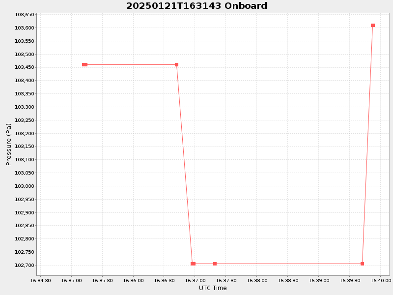
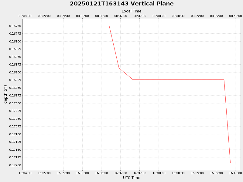
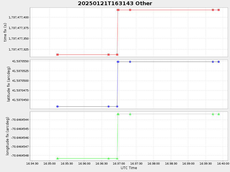
| 2025/01/21 16:34:42 GMT 2025/01/21 08:34:42 local |
2025/01/21 16:39:52 GMT 2025/01/21 08:39:52 local |
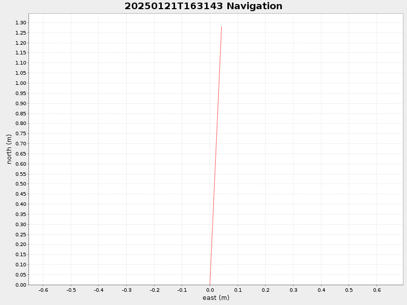
41.53705483298388 -70.64645433274343 |
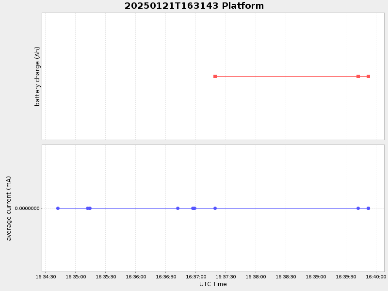
-0.0 Amp |
| Downloads: | ||||
| shore.nc shore.mat |
shore.kml shore.kmz |
shore.asc shore.dir |
shore.csv shore.log |
argos_24hr.kml argos_week.kml, argos_month.kml |
| Elapsed time since start: ... | Elapsed time since last valid data: ... |