Parent Directory
Parent Directory
Parent Directory
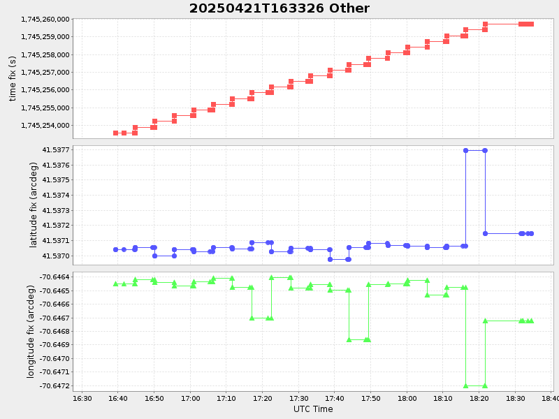
| Start time | End time | Last Latitude & Longitude |
Current (1hr avg) |
|---|---|---|---|
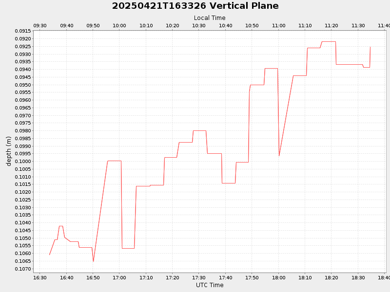
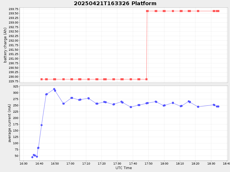
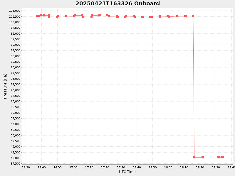
| 2025/04/21 16:33:41 GMT 2025/04/21 09:33:41 local |
2025/04/21 18:34:35 GMT 2025/04/21 11:34:35 local |
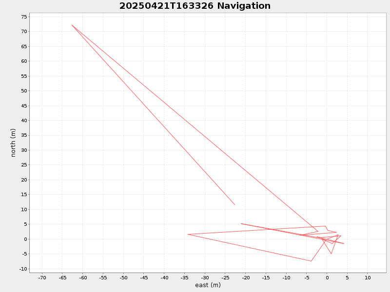
41.537147166435936 -70.64672283288249 |
-3.6904018640756626 Amp |
| Downloads: | ||||
| shore.nc shore.mat |
shore.kml shore.kmz |
shore.asc shore.dir |
shore.csv shore.log |
argos_24hr.kml argos_week.kml, argos_month.kml |
| Elapsed time since start: ... | Elapsed time since last valid data: ... |