Parent Directory
Parent Directory
Parent Directory
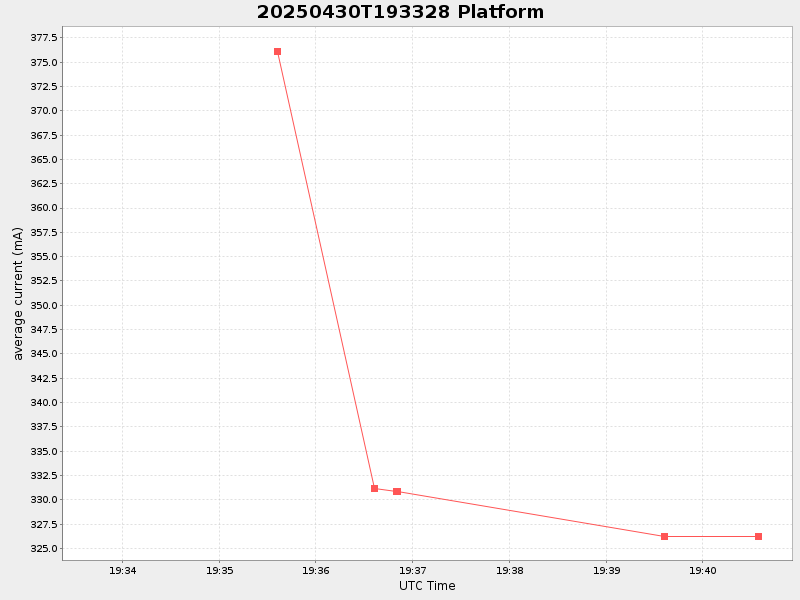
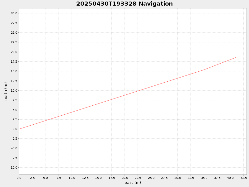
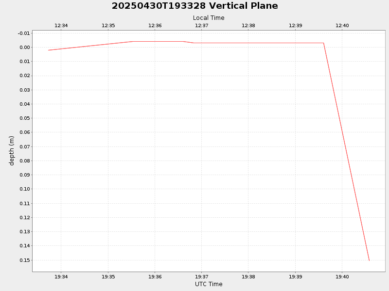
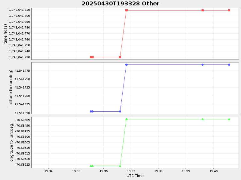
| Start time | End time | Last Latitude & Longitude |
Current (1hr avg) |
|---|---|---|---|
| 2025/04/30 19:33:43 GMT 2025/04/30 12:33:43 local |
2025/04/30 19:40:34 GMT 2025/04/30 12:40:34 local |
41.541820572881235 -70.68476835226379 |
NaN Amp |
| Downloads: | ||||
| shore.nc shore.mat |
shore.kml shore.kmz |
shore.asc shore.dir |
shore.csv shore.log |
argos_24hr.kml argos_week.kml, argos_month.kml |
| Elapsed time since start: ... | Elapsed time since last valid data: ... |