Parent Directory
Parent Directory
Parent Directory
| Start time | End time | Last Latitude & Longitude |
Current (1hr avg) |
|---|---|---|---|
| 1970/01/01 00:28:15 GMT 1969/12/31 16:28:15 local |
2020/09/10 16:02:45 GMT 2020/09/10 09:02:45 local |
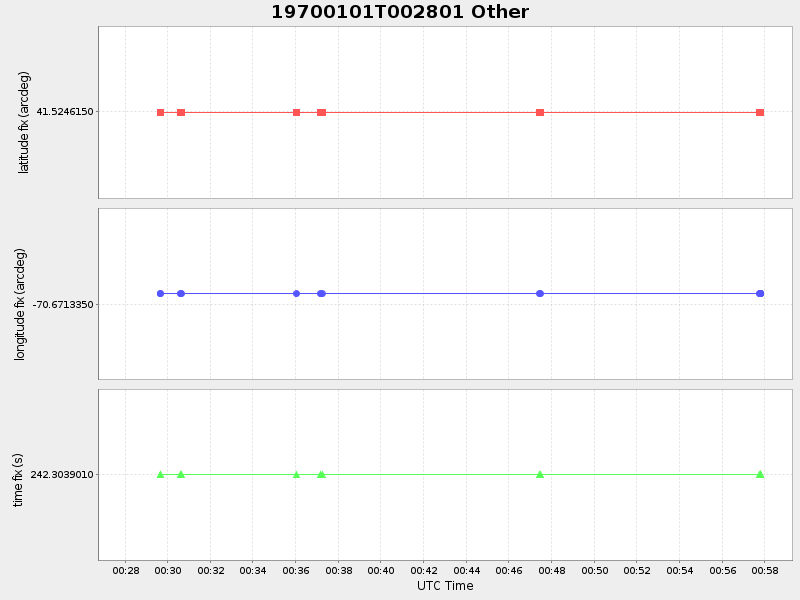
41.52461499994363 -70.67133499933992 |
-0.0 Amp |
| Downloads: | ||||
| shore.nc shore.mat |
shore.kml shore.kmz |
shore.asc shore.dir |
shore.csv shore.log |
argos_24hr.kml argos_week.kml, argos_month.kml |
| Elapsed time since start: ... | Elapsed time since last valid data: ... |