Parent Directory
Parent Directory
Parent Directory
| Start time | End time | Last Latitude & Longitude |
Current (1hr avg) |
|---|---|---|---|
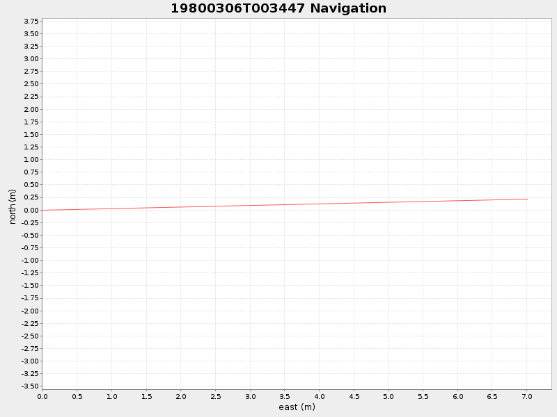
| 1980/03/06 00:34:59 GMT 1980/03/05 16:34:59 local |
1980/03/06 00:37:03 GMT 1980/03/05 16:37:03 local |
41.52431399971011 -70.67176383300041 |
NaN Amp |
| Downloads: | ||||
| shore.nc shore.mat |
shore.kml shore.kmz |
shore.asc shore.dir |
shore.csv shore.log |
argos_24hr.kml argos_week.kml, argos_month.kml |
| Elapsed time since start: 397351:03 | Elapsed time since last valid data: 397351:01 |