Parent Directory
Parent Directory
Parent Directory
| Start time | End time | Last Latitude & Longitude |
Current (1hr avg) |
|---|---|---|---|
| 1980/03/06 00:40:59 GMT 1980/03/05 16:40:59 local |
2022/08/25 16:13:50 GMT 2022/08/25 09:13:50 local |
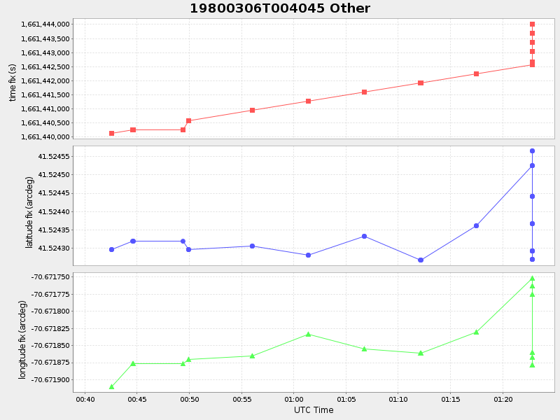
41.52401237540474 -70.67278754262033 |
-4.77883745891589E-8 Amp |
| Downloads: | ||||
| shore.nc shore.mat |
shore.kml shore.kmz |
shore.asc shore.dir |
shore.csv shore.log |
argos_24hr.kml argos_week.kml, argos_month.kml |
| Elapsed time since start: ... | Elapsed time since last valid data: ... |