Parent Directory
Parent Directory
Parent Directory
| Start time | End time | Last Latitude & Longitude |
Current (1hr avg) |
|---|---|---|---|
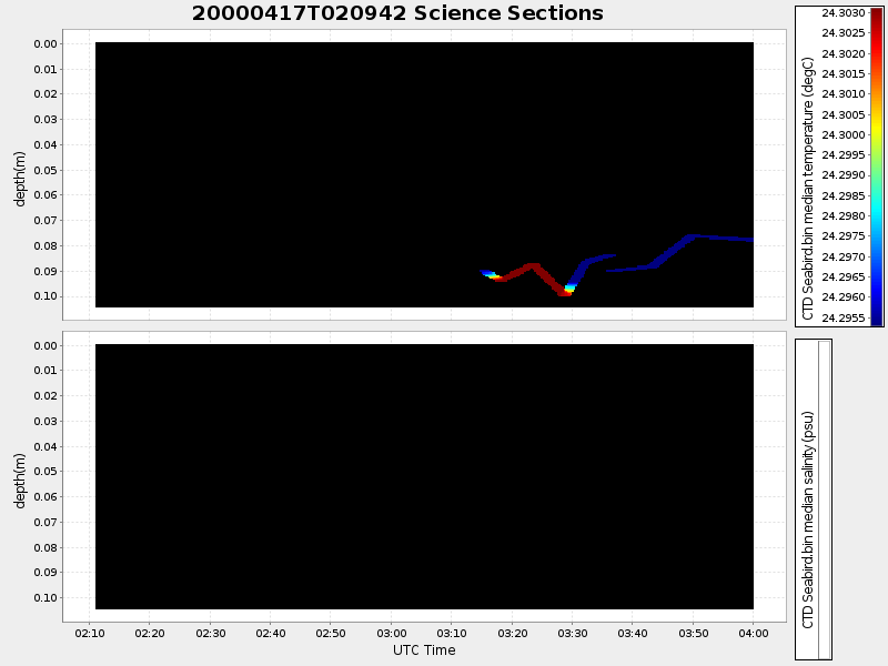
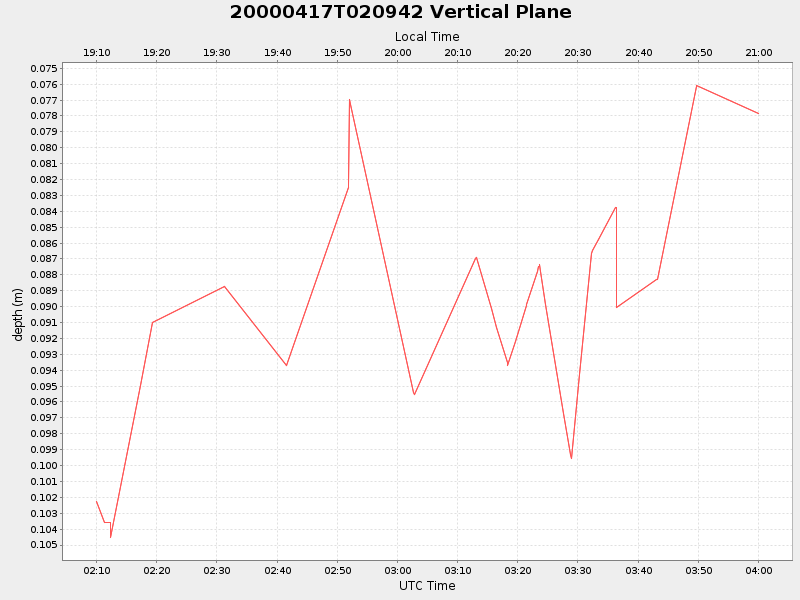
| 2000/04/17 02:09:54 GMT 2000/04/16 19:09:54 local |
2000/04/17 04:00:04 GMT 2000/04/16 21:00:04 local |
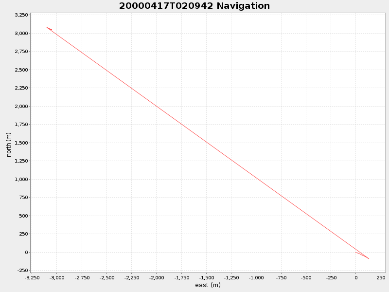
41.55209620145252 -70.70814537922817 |
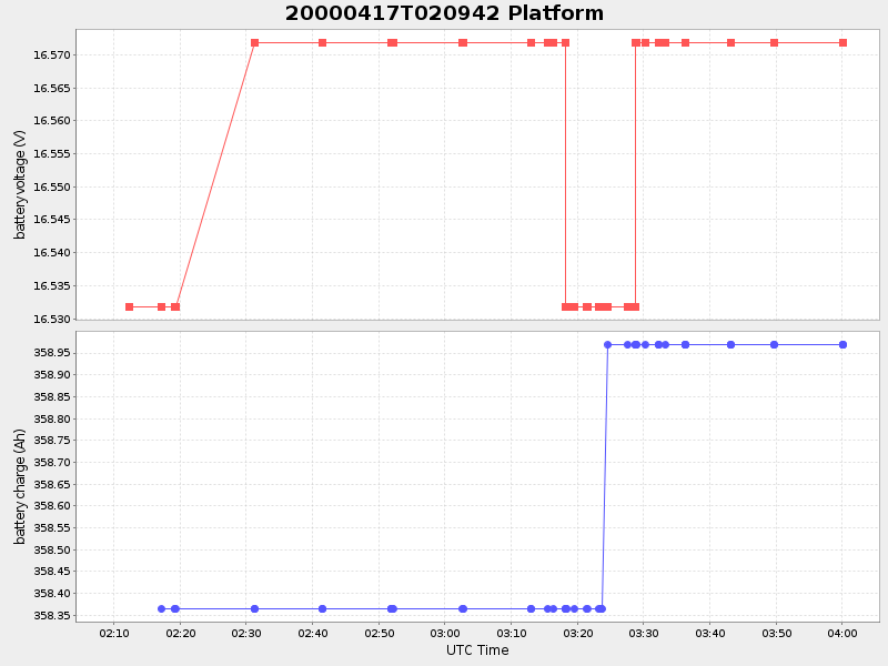
-0.5347583398070573 Amp |
| Downloads: | ||||
| shore.nc shore.mat |
shore.kml shore.kmz |
shore.asc shore.dir |
shore.csv shore.log |
argos_24hr.kml argos_week.kml, argos_month.kml |
| Elapsed time since start: ... | Elapsed time since last valid data: ... |