Parent Directory
Parent Directory
Parent Directory
| Start time | End time | Last Latitude & Longitude |
Current (1hr avg) |
|---|---|---|---|
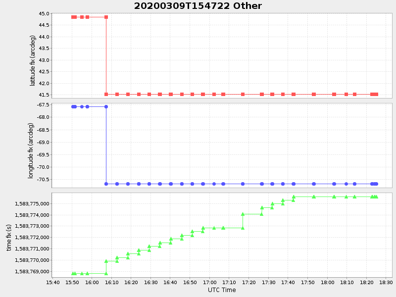
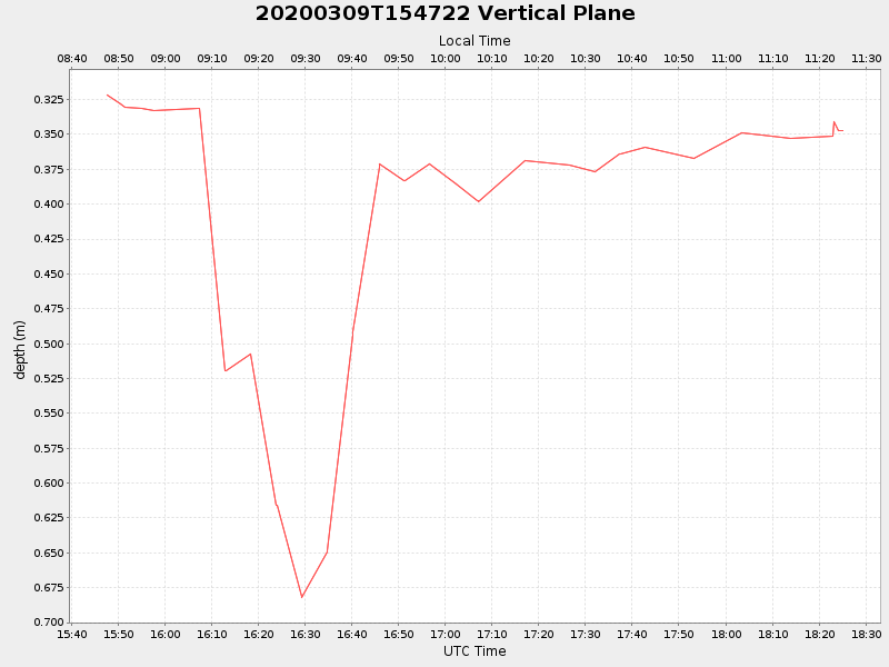
| 2020/03/09 15:47:35 GMT 2020/03/09 08:47:35 local |
2020/03/09 18:25:09 GMT 2020/03/09 11:25:09 local |
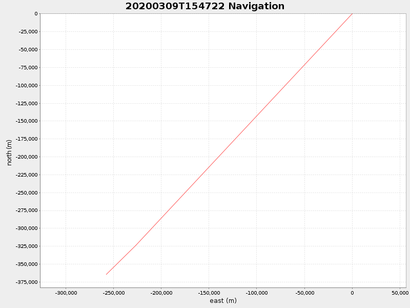
41.524392833283265 -70.67164083289944 |
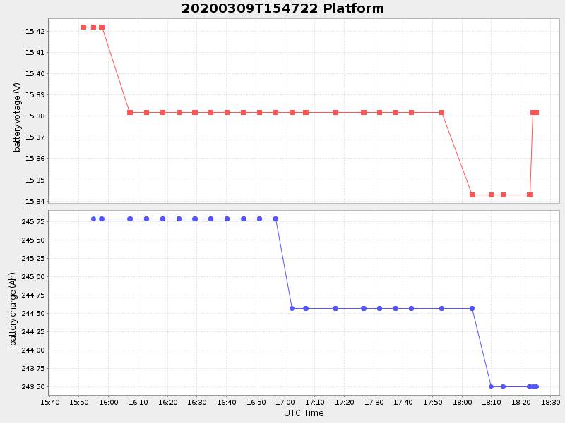
0.9397428888764991 Amp |
| Downloads: | ||||
| shore.nc shore.mat |
shore.kml shore.kmz |
shore.asc shore.dir |
shore.csv shore.log |
argos_24hr.kml argos_week.kml, argos_month.kml |
| Elapsed time since start: ... | Elapsed time since last valid data: ... |