Parent Directory
Parent Directory
Parent Directory
| Start time | End time | Last Latitude & Longitude |
Current (1hr avg) |
|---|---|---|---|
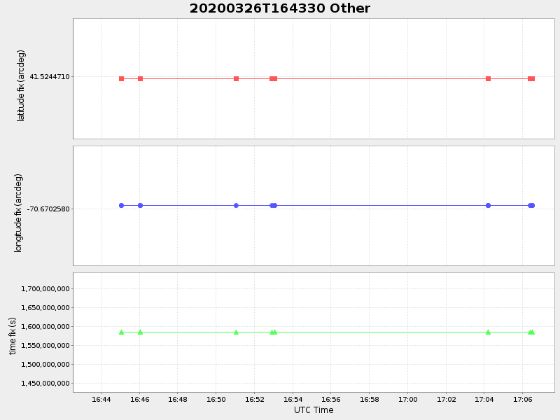
| 2020/03/26 16:43:42 GMT 2020/03/26 09:43:42 local |
2020/03/26 17:06:30 GMT 2020/03/26 10:06:30 local |
41.52447099984576 -70.67025799973699 |
-0.0 Amp |
| Downloads: | ||||
| shore.nc shore.mat |
shore.kml shore.kmz |
shore.asc shore.dir |
shore.csv shore.log |
argos_24hr.kml argos_week.kml, argos_month.kml |
| Elapsed time since start: 45897:08 | Elapsed time since last valid data: 45896:45 |