Polaris 20200507T123628 Parent Directory

Open page with static plots
Start timeEnd timeLast Latitude
& Longitude
Current
(1hr avg)
2020/05/07 12:36:40 GMT
2020/05/07 05:36:40 local
2020/05/07 14:11:45 GMT
2020/05/07 07:11:45 local
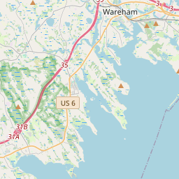
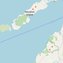
41.55293027577266
-70.70691485211384
0.6600314551034782 Amp
Downloads:
shore.nc
shore.mat
shore.kml
shore.kmz
shore.asc
shore.dir
shore.csv
shore.log
argos_24hr.kml
argos_week.kml, argos_month.kml
Elapsed time since start: 44917:02 Elapsed time since last valid data: 44915:27
MarkerMarker
Leaflet © OpenStreetMap contributors
Options for all plots below with a time axis:


Created with Highstock 6.1.3time (UTC)Depth (m)Vertical Plane12:4012:5013:0013:1013:2013:3013:4013:5014:0014:10-5-4-3-2-101ZoomAll1h3h6h12h1d3d1wFromMay 7, 2020ToMay 7, 2020Highcharts.com
Created with Highstock 6.1.3longitude (arcdeg)latitude (arcdeg)Navigation-70.705-70.7-70.695-70.69-70.685-70.68-70.67541.51541.5241.52541.5341.53541.5441.54541.5541.555Highcharts.com
Created with Highstock 6.1.3time (UTC)time_fix (s)latitude_fix (arcdeg)longitude_fix (arcdeg)Other13:0013:3014:0012:4513:1513:451 588 854k1 588 856k1 588 858k1 588 860k1 588 862k41.5141.5241.5341.5441.5541.56-70.72-70.71-70.7-70.69-70.68-70.67-70.66ZoomAll1h3h6h12h1d3d1wFromMay 7, 2020ToMay 7, 2020Highcharts.com
Created with Highstock 6.1.3time (UTC)battery_voltage (V)battery_voltage13:0013:3014:0012:4513:1513:4516.47516.516.52516.5516.57516.616.62516.6516.675ZoomAll1h3h6h12h1d3d1wFromMay 7, 2020ToMay 7, 2020Highcharts.com
Created with Highstock 6.1.3time (UTC)battery_charge (Ah)battery_charge13:00355.1355.2355.3355.4355.5355.6355.7355.8355.9ZoomAll1h3h6h12h1d3d1wFromMay 7, 2020ToMay 7, 2020Highcharts.com