Parent Directory
Parent Directory
Parent Directory
| Start time | End time | Last Latitude & Longitude |
Current (1hr avg) |
|---|---|---|---|
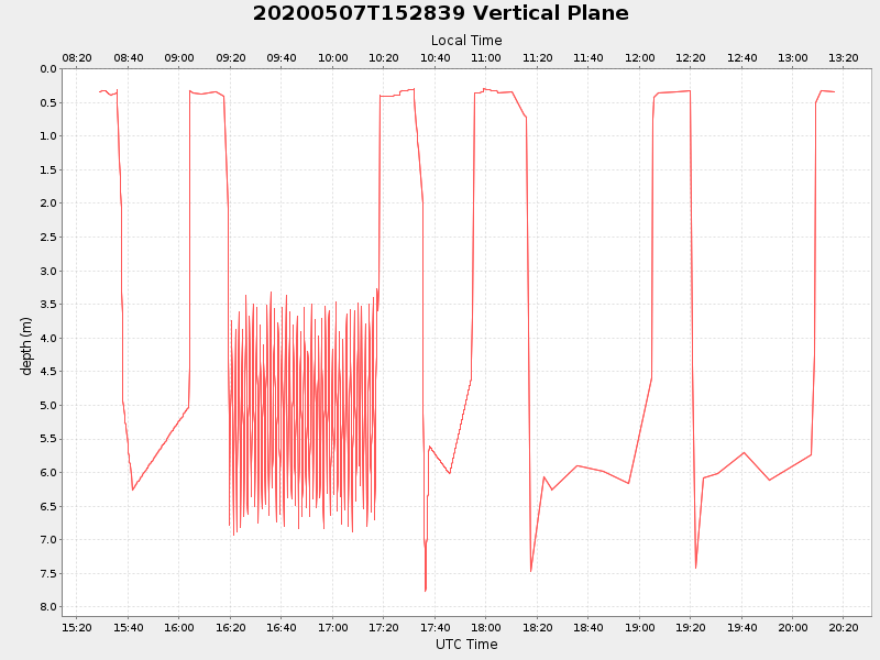
| 2020/05/07 15:28:51 GMT 2020/05/07 08:28:51 local |
2020/05/07 20:16:23 GMT 2020/05/07 13:16:23 local |
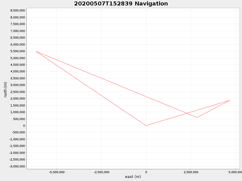
41.55153636439689 -70.70031729958717 |
-0.0 Amp |
| Downloads: | ||||
| shore.nc shore.mat |
shore.kml shore.kmz |
shore.asc shore.dir |
shore.csv shore.log |
argos_24hr.kml argos_week.kml, argos_month.kml |
| Elapsed time since start: ... | Elapsed time since last valid data: ... |