Parent Directory
Parent Directory
Parent Directory
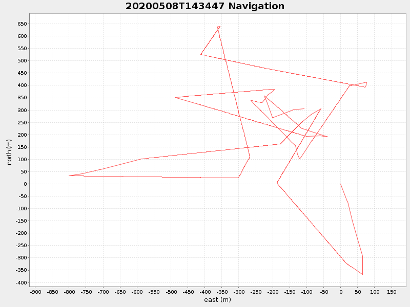
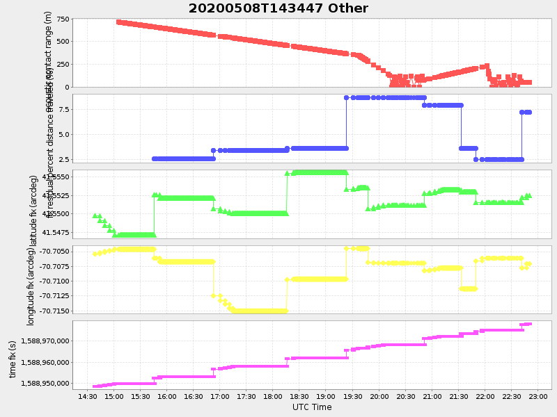
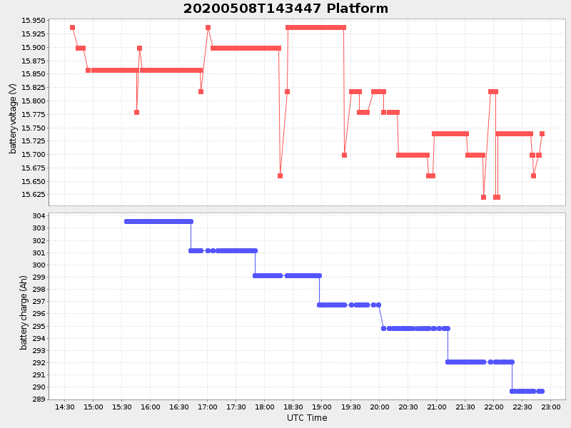
| Start time | End time | Last Latitude & Longitude |
Current (1hr avg) |
|---|---|---|---|
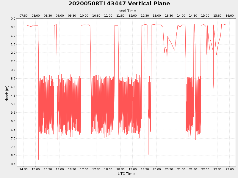
| 2020/05/08 14:38:32 GMT 2020/05/08 07:38:32 local |
2020/05/08 22:50:47 GMT 2020/05/08 15:50:47 local |
41.55250971054307 -70.70666658574319 |
2.3519561589640565 Amp |
| Downloads: | ||||
| shore.nc shore.mat |
shore.kml shore.kmz |
shore.asc shore.dir |
shore.csv shore.log |
argos_24hr.kml argos_week.kml, argos_month.kml |
| Elapsed time since start: ... | Elapsed time since last valid data: ... |