Parent Directory
Parent Directory
Parent Directory
| Start time | End time | Last Latitude & Longitude |
Current (1hr avg) |
|---|---|---|---|
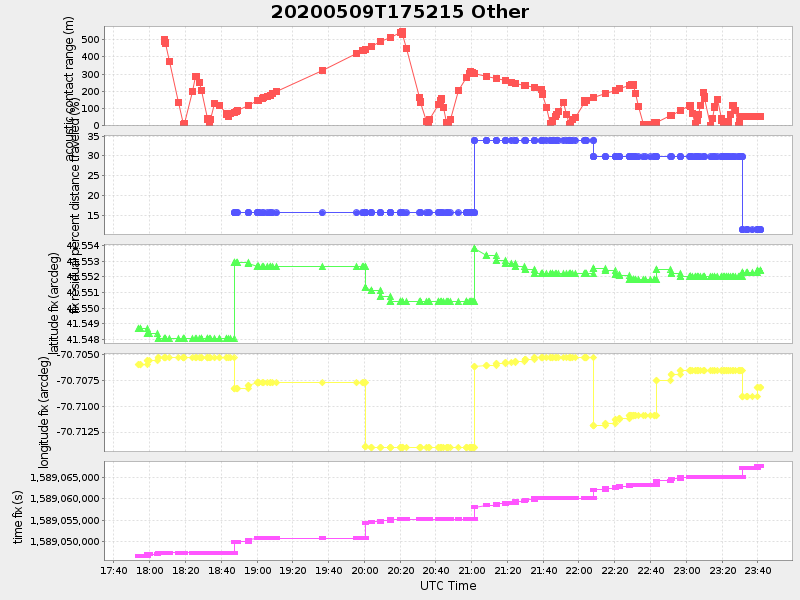
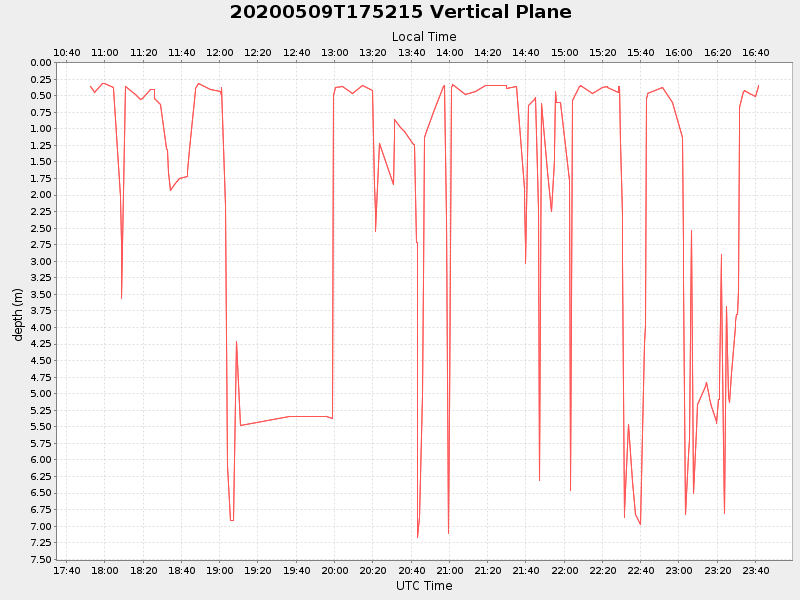
| 2020/05/09 17:52:26 GMT 2020/05/09 10:52:26 local |
2020/05/09 23:41:38 GMT 2020/05/09 16:41:38 local |
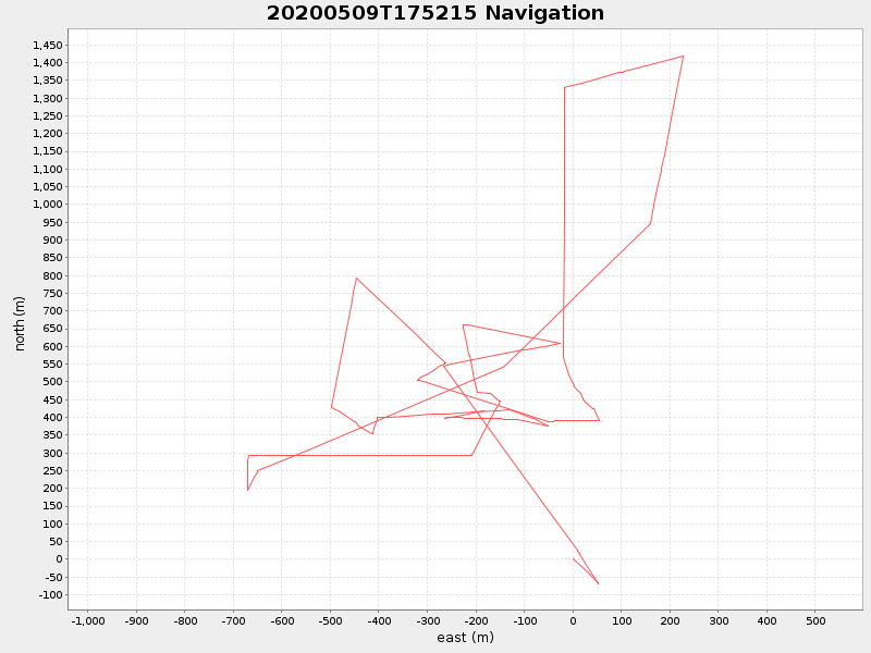
41.55244033309668 -70.70812899994762 |
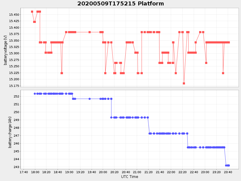
2.2305059117083554 Amp |
| Downloads: | ||||
| shore.nc shore.mat |
shore.kml shore.kmz |
shore.asc shore.dir |
shore.csv shore.log |
argos_24hr.kml argos_week.kml, argos_month.kml |
| Elapsed time since start: ... | Elapsed time since last valid data: ... |