Parent Directory
Parent Directory
Parent Directory
| Start time | End time | Last Latitude & Longitude |
Current (1hr avg) |
|---|---|---|---|
| 2020/05/11 17:44:13 GMT 2020/05/11 10:44:13 local |
2020/05/11 19:36:09 GMT 2020/05/11 12:36:09 local |
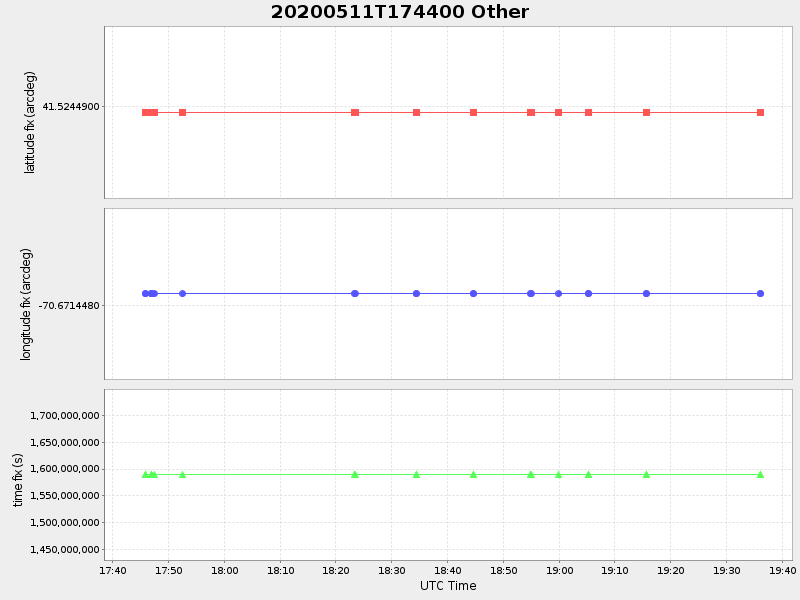
41.524489999644445 -70.67144799928354 |
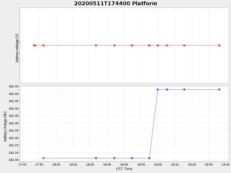
-0.4535231922273076 Amp |
| Downloads: | ||||
| shore.nc shore.mat |
shore.kml shore.kmz |
shore.asc shore.dir |
shore.csv shore.log |
argos_24hr.kml argos_week.kml, argos_month.kml |
| Elapsed time since start: ... | Elapsed time since last valid data: ... |