Parent Directory
Parent Directory
Parent Directory
| Start time | End time | Last Latitude & Longitude |
Current (1hr avg) |
|---|---|---|---|
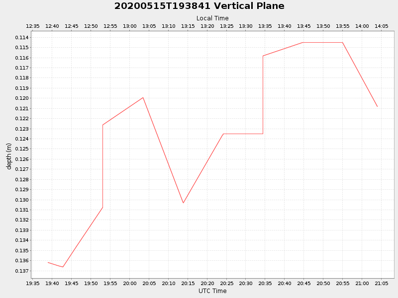
| 2020/05/15 19:38:53 GMT 2020/05/15 12:38:53 local |
2020/05/15 21:04:02 GMT 2020/05/15 14:04:02 local |
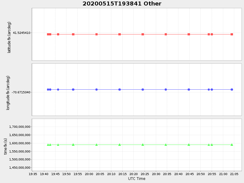
41.52454099969648 -70.67153399946937 |
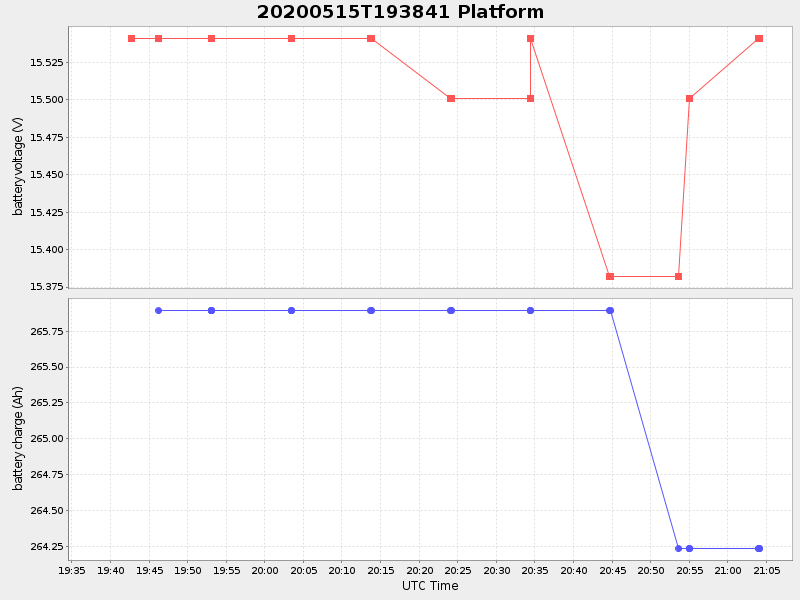
1.6433376458118096 Amp |
| Downloads: | ||||
| shore.nc shore.mat |
shore.kml shore.kmz |
shore.asc shore.dir |
shore.csv shore.log |
argos_24hr.kml argos_week.kml, argos_month.kml |
| Elapsed time since start: ... | Elapsed time since last valid data: ... |