Parent Directory
Parent Directory
Parent Directory
| Start time | End time | Last Latitude & Longitude |
Current (1hr avg) |
|---|---|---|---|
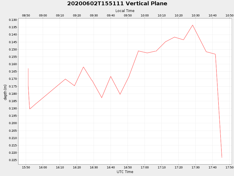
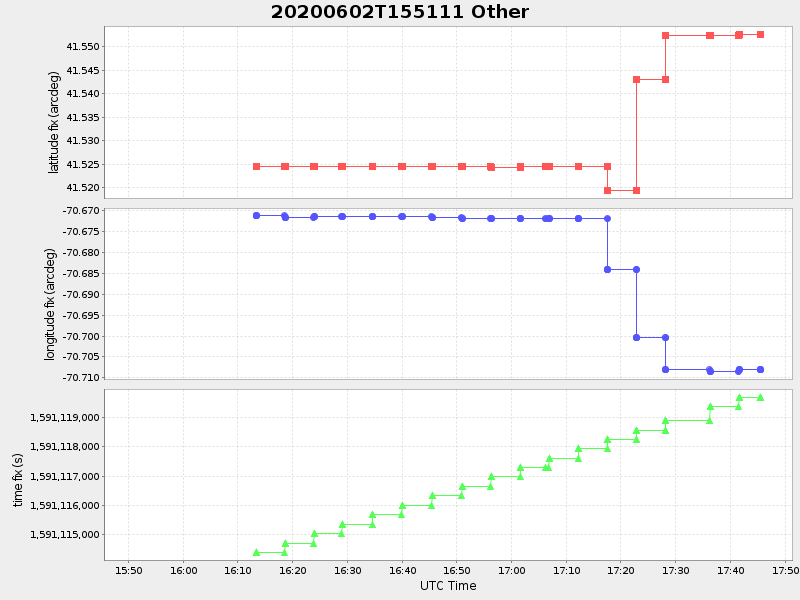
| 2020/06/02 15:51:23 GMT 2020/06/02 08:51:23 local |
2020/06/02 17:45:33 GMT 2020/06/02 10:45:33 local |
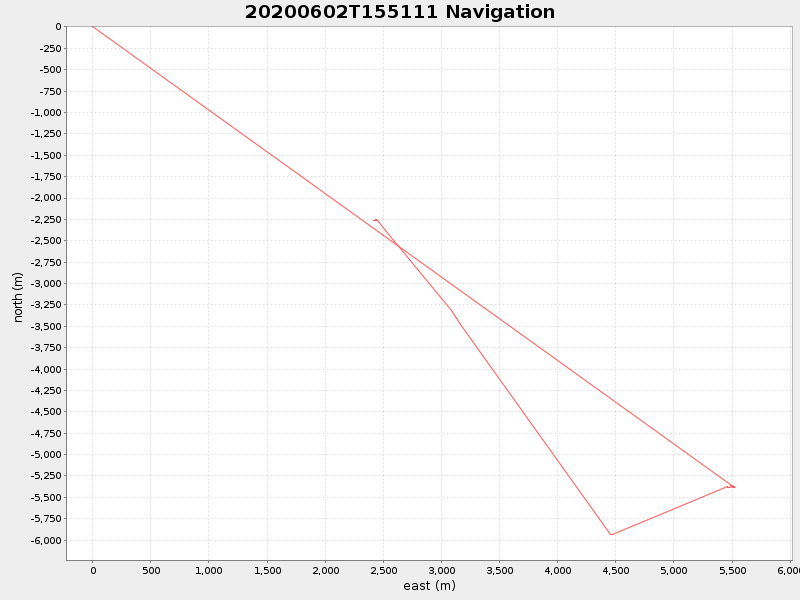
41.552626519534456 -70.70811719719397 |
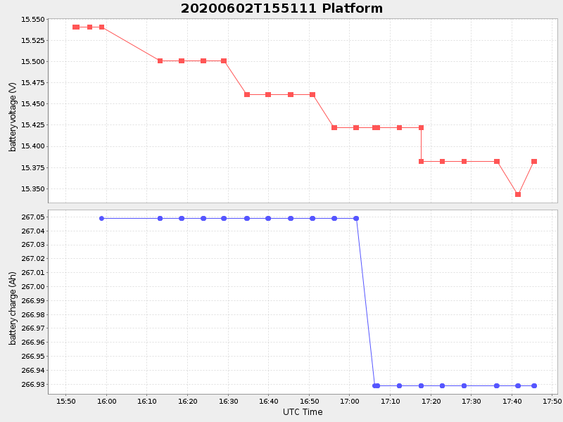
0.11973778632323784 Amp |
| Downloads: | ||||
| shore.nc shore.mat |
shore.kml shore.kmz |
shore.asc shore.dir |
shore.csv shore.log |
argos_24hr.kml argos_week.kml, argos_month.kml |
| Elapsed time since start: ... | Elapsed time since last valid data: ... |