Parent Directory
Parent Directory
Parent Directory
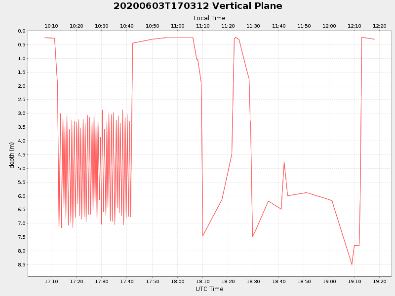
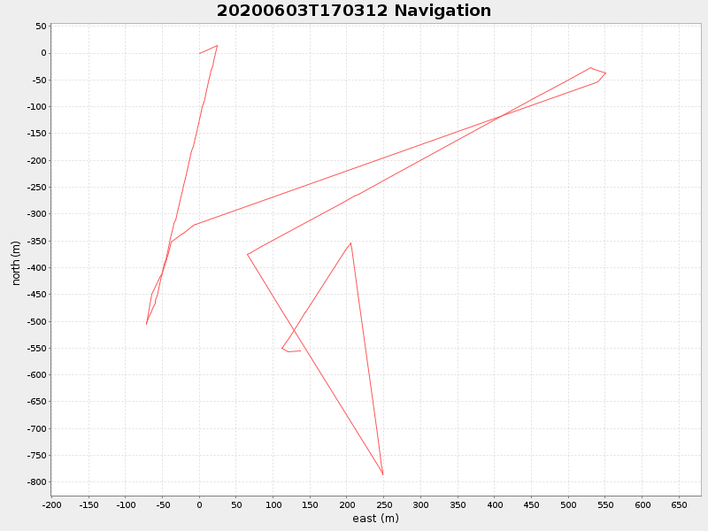
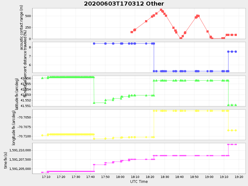
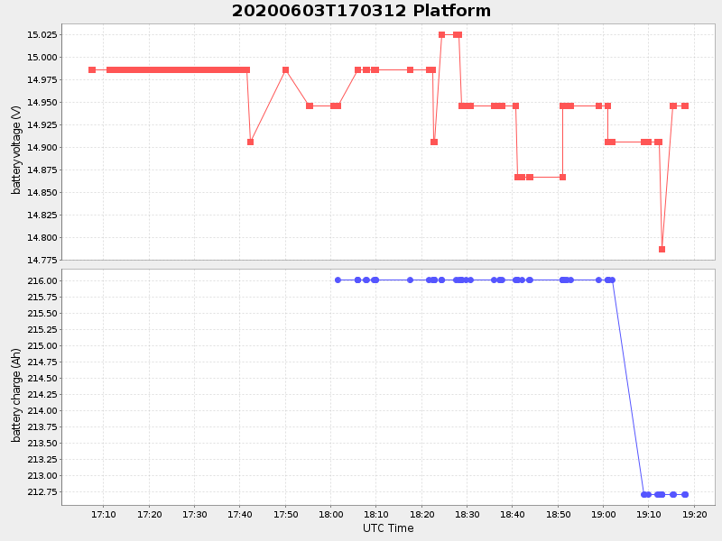
| Start time | End time | Last Latitude & Longitude |
Current (1hr avg) |
|---|---|---|---|
| 2020/06/03 17:07:26 GMT 2020/06/03 10:07:26 local |
2020/06/03 19:18:01 GMT 2020/06/03 12:18:01 local |
41.551092638472745 -70.7081045765185 |
3.2783172445753475 Amp |
| Downloads: | ||||
| shore.nc shore.mat |
shore.kml shore.kmz |
shore.asc shore.dir |
shore.csv shore.log |
argos_24hr.kml argos_week.kml, argos_month.kml |
| Elapsed time since start: ... | Elapsed time since last valid data: ... |