Parent Directory
Parent Directory
Parent Directory
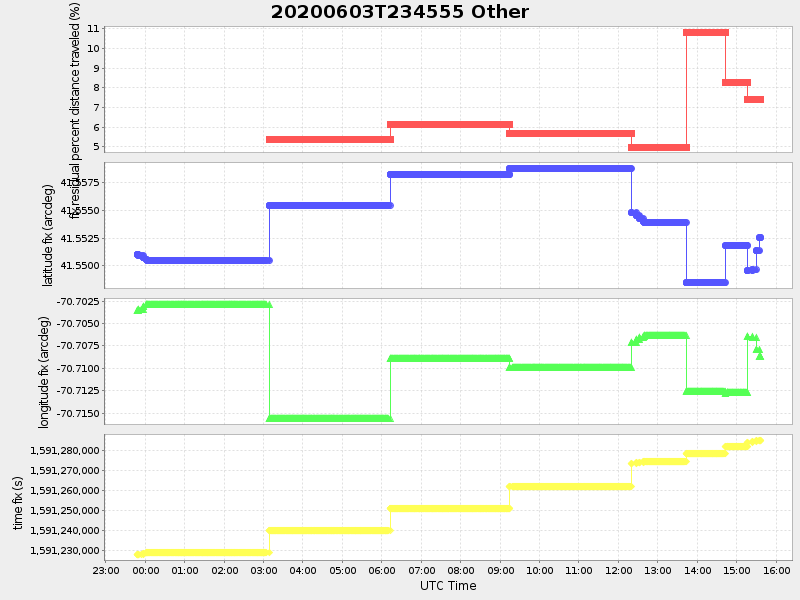
| Start time | End time | Last Latitude & Longitude |
Current (1hr avg) |
|---|---|---|---|
| 2020/06/03 23:46:06 GMT 2020/06/03 16:46:06 local |
2020/06/04 15:36:46 GMT 2020/06/04 08:36:46 local |
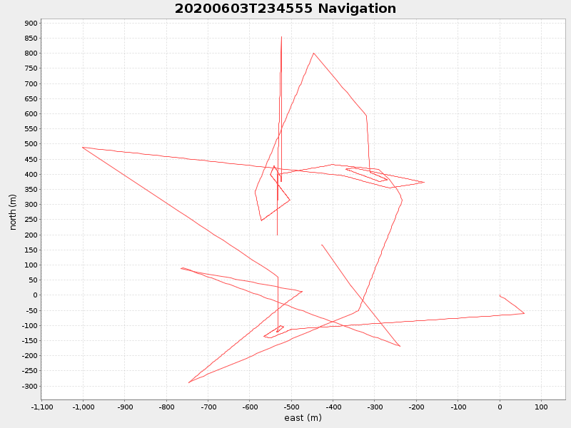
41.55256016656453 -70.70871483291 |
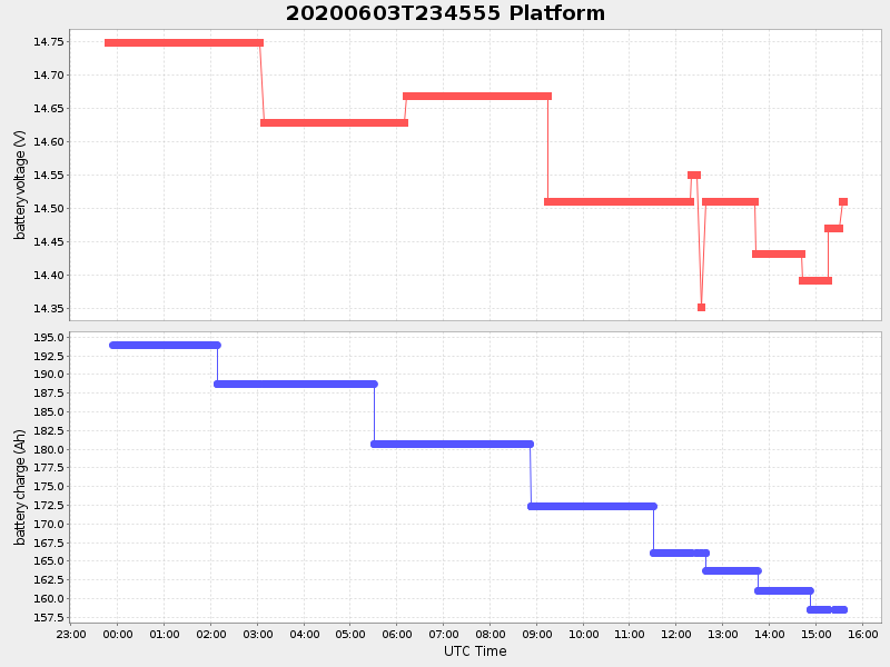
2.5640470874946937 Amp |
| Downloads: | ||||
| shore.nc shore.mat |
shore.kml shore.kmz |
shore.asc shore.dir |
shore.csv shore.log |
argos_24hr.kml argos_week.kml, argos_month.kml |
| Elapsed time since start: ... | Elapsed time since last valid data: ... |