Parent Directory
Parent Directory
Parent Directory
| Start time | End time | Last Latitude & Longitude |
Current (1hr avg) |
|---|---|---|---|
| 2020/09/29 16:04:04 GMT 2020/09/29 09:04:04 local |
2020/09/29 17:31:08 GMT 2020/09/29 10:31:08 local |
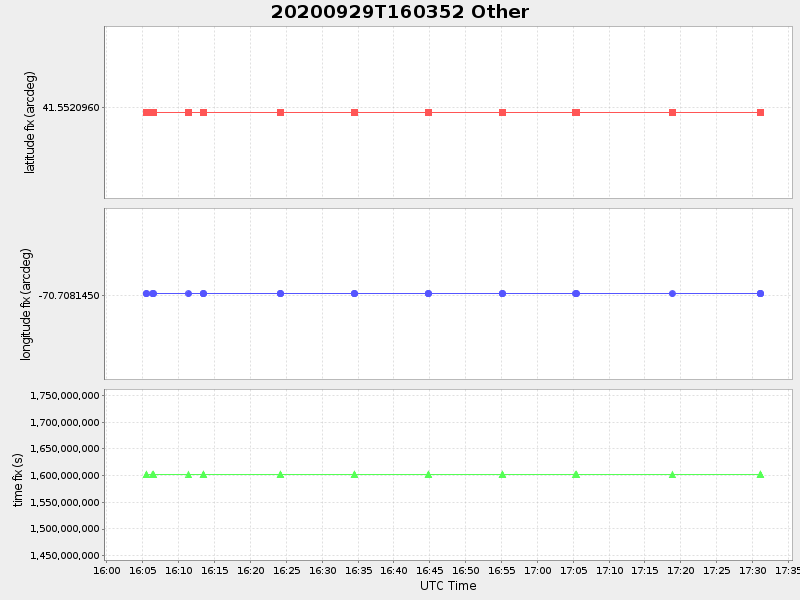
41.5520959996818 -70.70814499986585 |
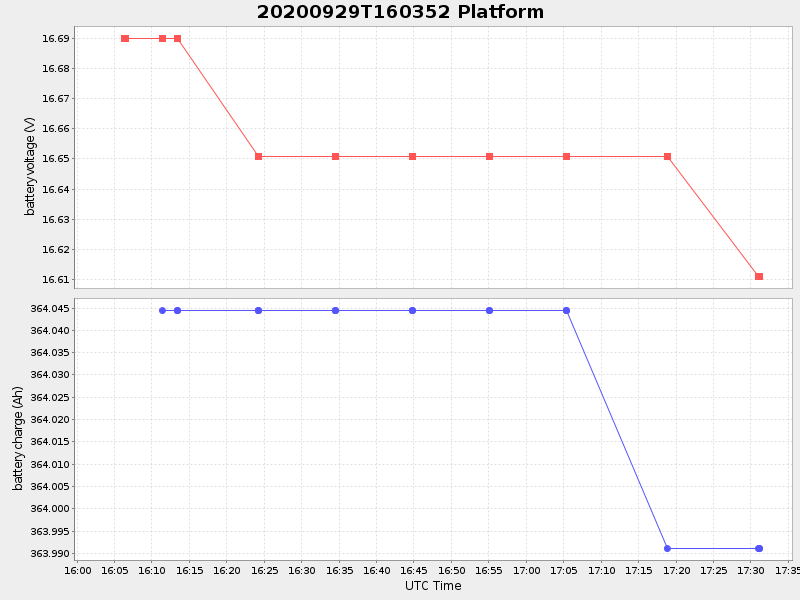
0.04782243677592362 Amp |
| Downloads: | ||||
| shore.nc shore.mat |
shore.kml shore.kmz |
shore.asc shore.dir |
shore.csv shore.log |
argos_24hr.kml argos_week.kml, argos_month.kml |
| Elapsed time since start: ... | Elapsed time since last valid data: ... |