Parent Directory
Parent Directory
Parent Directory
| Start time | End time | Last Latitude & Longitude |
Current (1hr avg) |
|---|---|---|---|
| 2020/11/03 16:49:19 GMT 2020/11/03 08:49:19 local |
2020/11/03 20:54:45 GMT 2020/11/03 12:54:45 local |
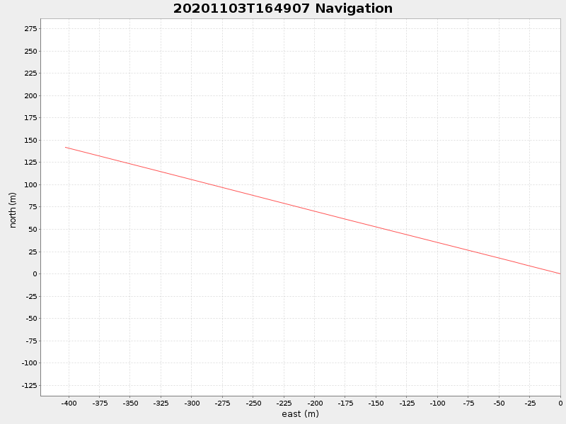
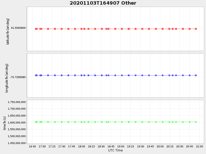
41.557355217828515 -70.73067435383024 |
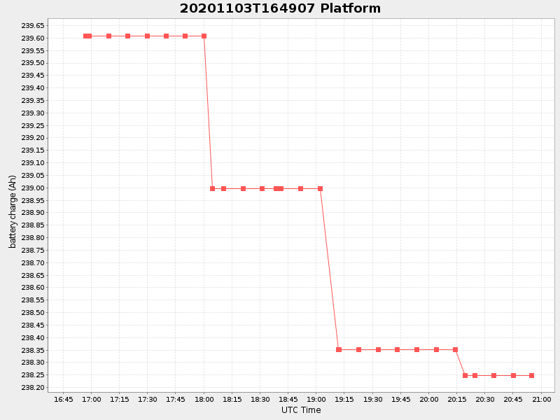
0.10024287035697081 Amp |
| Downloads: | ||||
| shore.nc shore.mat |
shore.kml shore.kmz |
shore.asc shore.dir |
shore.csv shore.log |
argos_24hr.kml argos_week.kml, argos_month.kml |
| Elapsed time since start: ... | Elapsed time since last valid data: ... |