Parent Directory
Parent Directory
Parent Directory
| Start time | End time | Last Latitude & Longitude |
Current (1hr avg) |
|---|---|---|---|
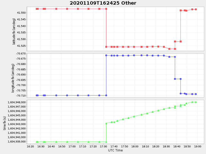
| 2020/11/09 16:24:37 GMT 2020/11/09 08:24:37 local |
2020/11/09 18:58:20 GMT 2020/11/09 10:58:20 local |
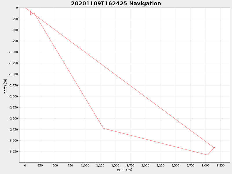
41.55243116628579 -70.70848583314229 |
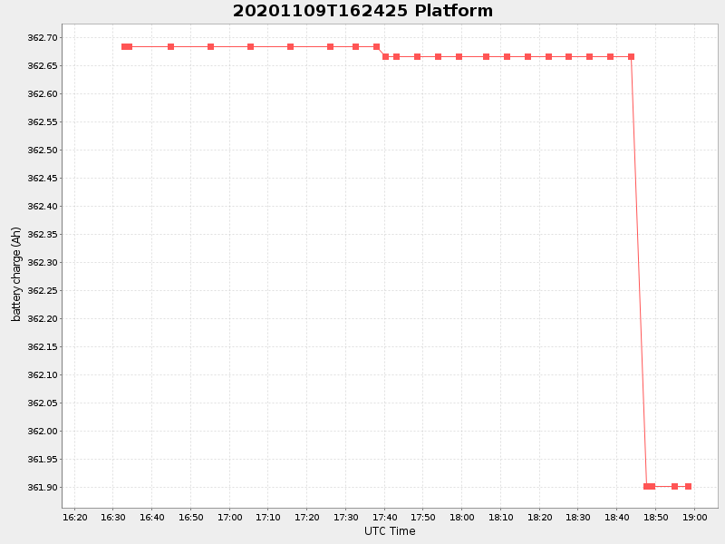
0.7117544688074082 Amp |
| Downloads: | ||||
| shore.nc shore.mat |
shore.kml shore.kmz |
shore.asc shore.dir |
shore.csv shore.log |
argos_24hr.kml argos_week.kml, argos_month.kml |
| Elapsed time since start: ... | Elapsed time since last valid data: ... |