Parent Directory
Parent Directory
Parent Directory
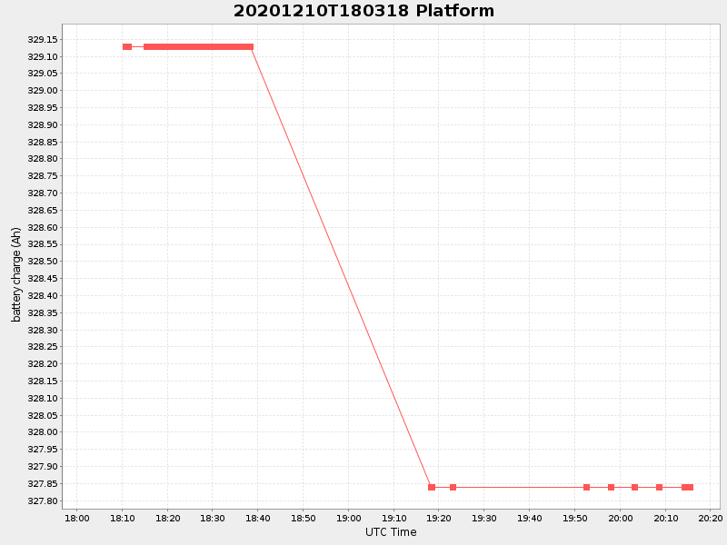
| Start time | End time | Last Latitude & Longitude |
Current (1hr avg) |
|---|---|---|---|
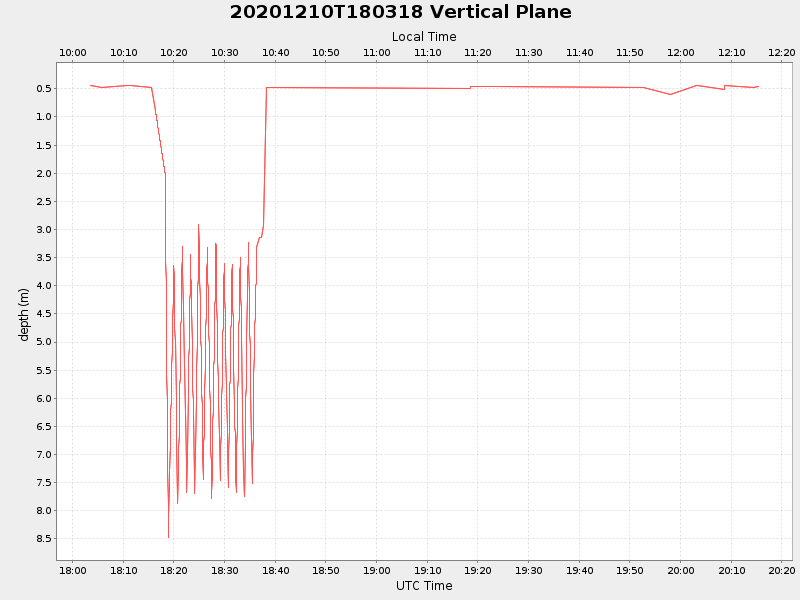
| 2020/12/10 18:03:29 GMT 2020/12/10 10:03:29 local |
2020/12/10 20:15:26 GMT 2020/12/10 12:15:26 local |
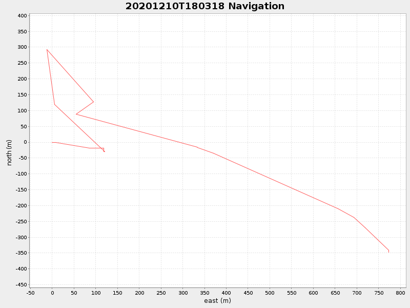
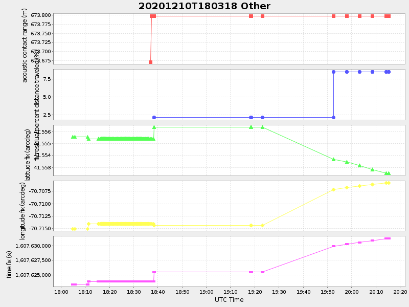
41.55244998599159 -70.70579482615446 |
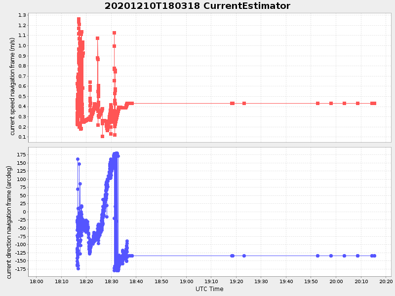
0.7964103526536005 Amp |
| Downloads: | ||||
| shore.nc shore.mat |
shore.kml shore.kmz |
shore.asc shore.dir |
shore.csv shore.log |
argos_24hr.kml argos_week.kml, argos_month.kml |
| Elapsed time since start: ... | Elapsed time since last valid data: ... |