Parent Directory
Parent Directory
Parent Directory
| Start time | End time | Last Latitude & Longitude |
Current (1hr avg) |
|---|---|---|---|
| 2020/12/13 19:55:49 GMT 2020/12/13 11:55:49 local |
2020/12/14 13:28:31 GMT 2020/12/14 05:28:31 local |
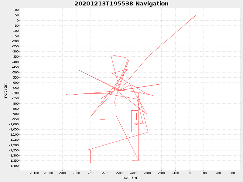
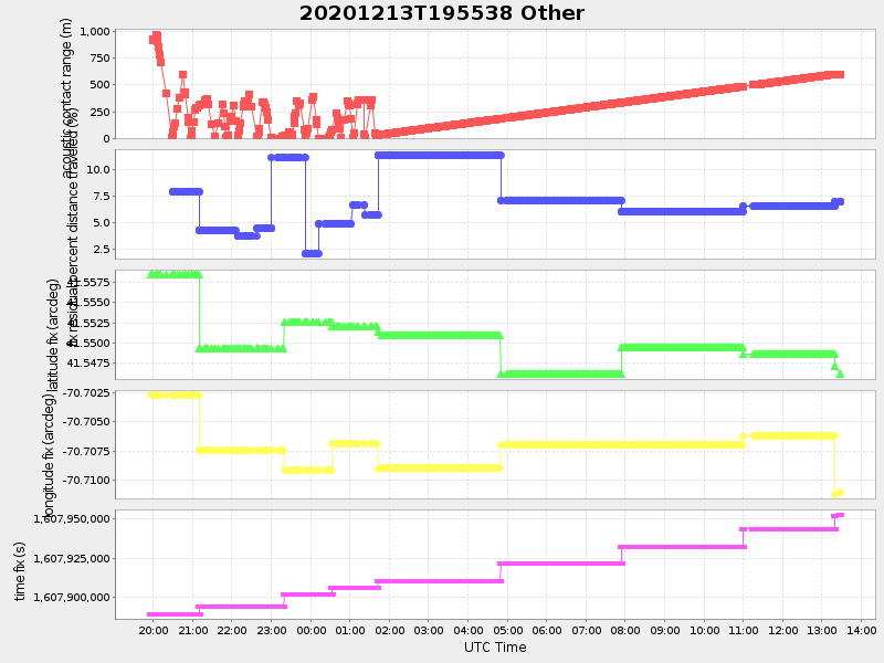
41.5460611748682 -70.7111074977018 |
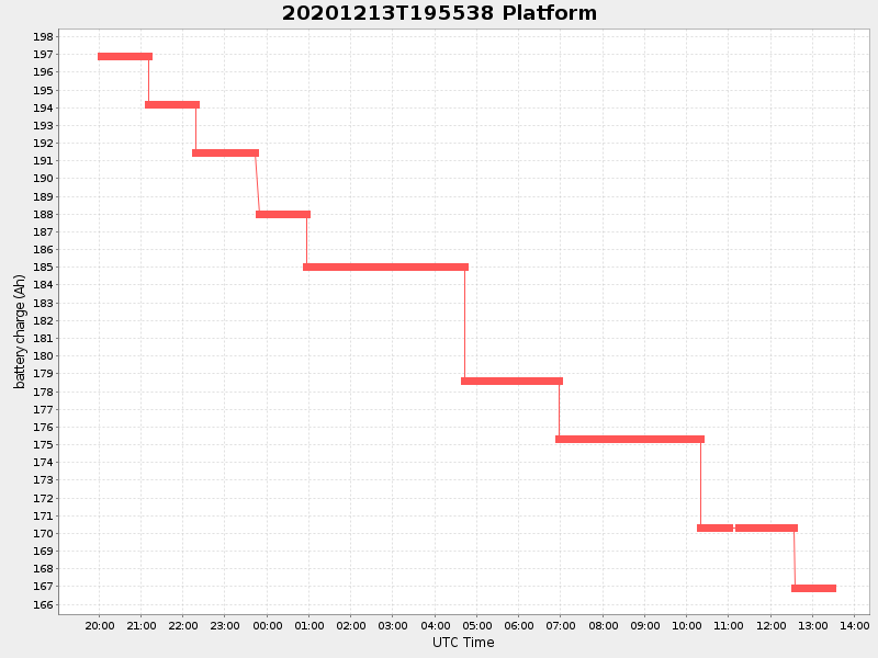
3.378511268321133 Amp |
| Downloads: | ||||
| shore.nc shore.mat |
shore.kml shore.kmz |
shore.asc shore.dir |
shore.csv shore.log |
argos_24hr.kml argos_week.kml, argos_month.kml |
| Elapsed time since start: ... | Elapsed time since last valid data: ... |