Parent Directory
Parent Directory
Parent Directory
| Start time | End time | Last Latitude & Longitude |
Current (1hr avg) |
|---|---|---|---|
| 2021/01/26 16:13:04 GMT 2021/01/26 08:13:04 local |
2021/01/26 20:24:08 GMT 2021/01/26 12:24:08 local |
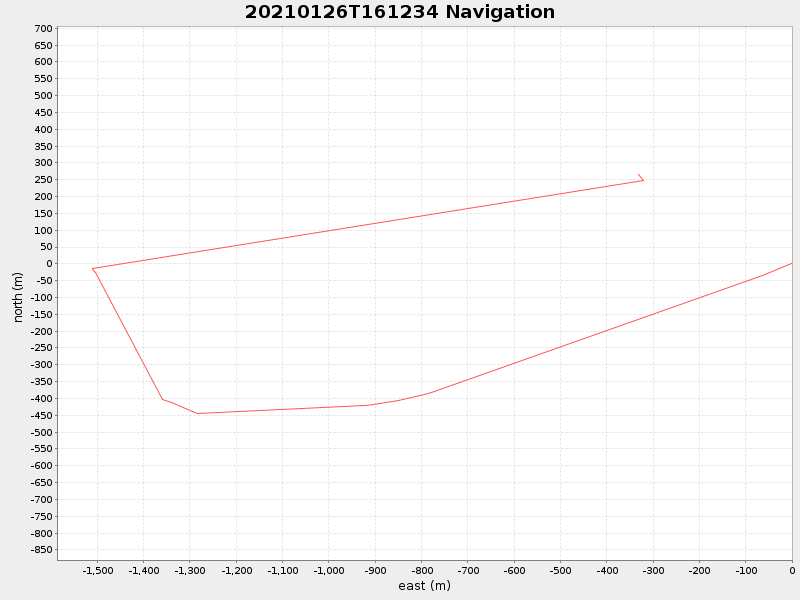
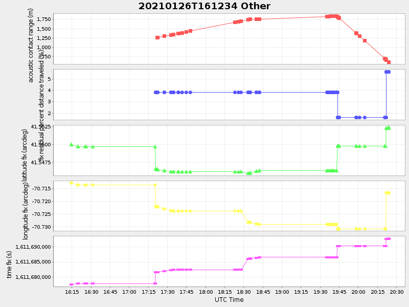
41.552419046285195 -70.71666907011368 |
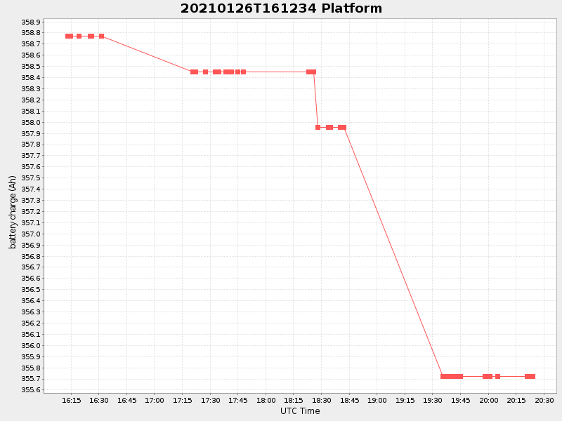
1.3134742598920337 Amp |
| Downloads: | ||||
| shore.nc shore.mat |
shore.kml shore.kmz |
shore.asc shore.dir |
shore.csv shore.log |
argos_24hr.kml argos_week.kml, argos_month.kml |
| Elapsed time since start: ... | Elapsed time since last valid data: ... |