Parent Directory
Parent Directory
Parent Directory
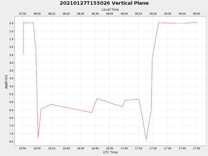
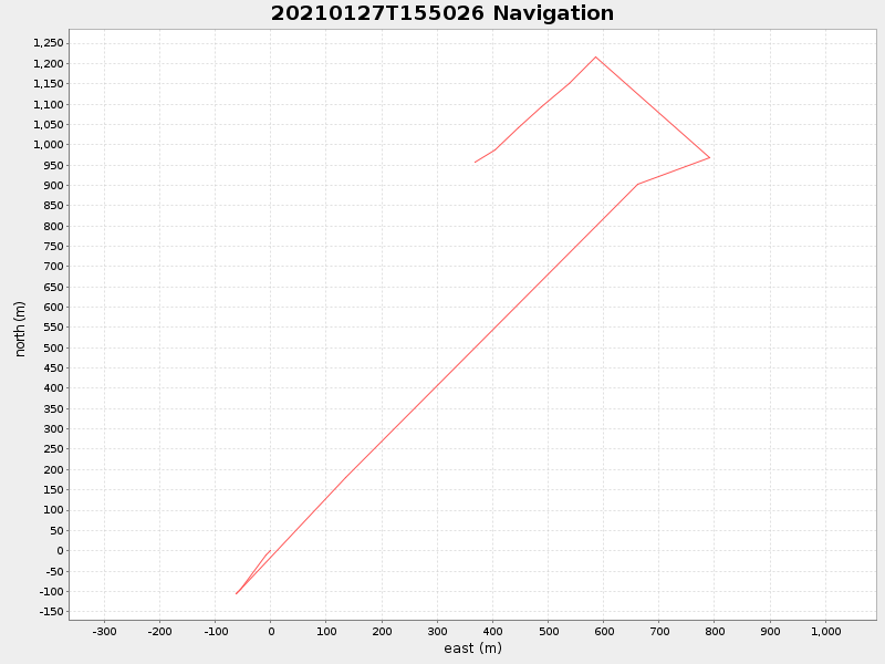
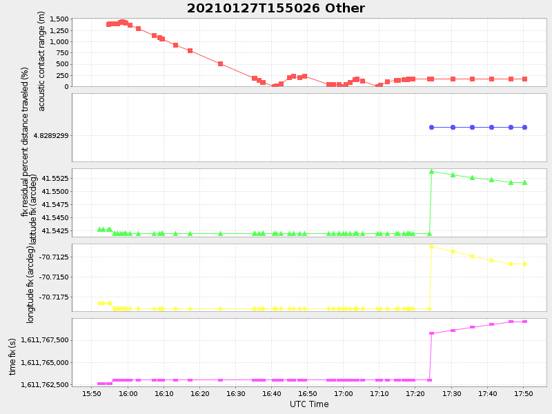
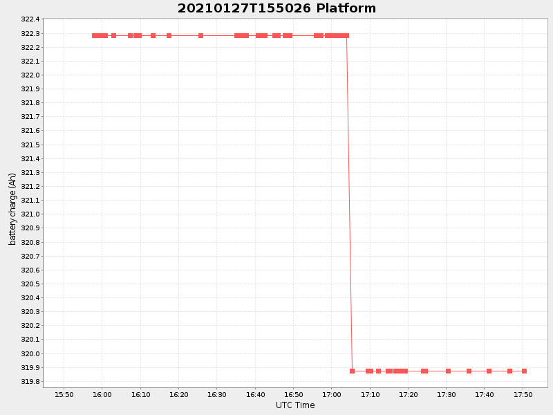
| Start time | End time | Last Latitude & Longitude |
Current (1hr avg) |
|---|---|---|---|
| 2021/01/27 15:50:38 GMT 2021/01/27 07:50:38 local |
2021/01/27 17:50:28 GMT 2021/01/27 09:50:28 local |
41.5514209515422 -70.71384518959957 |
2.3573309447866855 Amp |
| Downloads: | ||||
| shore.nc shore.mat |
shore.kml shore.kmz |
shore.asc shore.dir |
shore.csv shore.log |
argos_24hr.kml argos_week.kml, argos_month.kml |
| Elapsed time since start: ... | Elapsed time since last valid data: ... |