Parent Directory
Parent Directory
Parent Directory
| Start time | End time | Last Latitude & Longitude |
Current (1hr avg) |
|---|---|---|---|
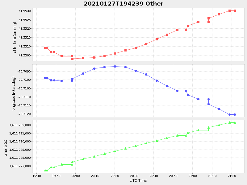
| 2021/01/27 19:42:51 GMT 2021/01/27 11:42:51 local |
2021/01/27 21:21:38 GMT 2021/01/27 13:21:38 local |
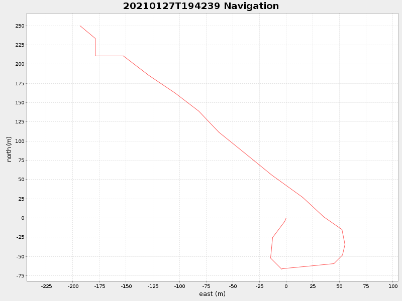
41.55315478155604 -70.71220275422029 |
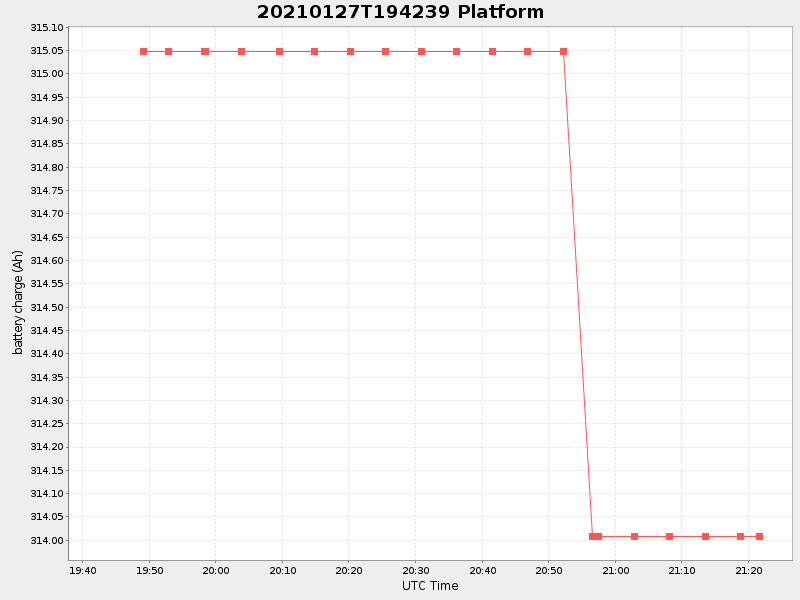
1.0160110149823631 Amp |
| Downloads: | ||||
| shore.nc shore.mat |
shore.kml shore.kmz |
shore.asc shore.dir |
shore.csv shore.log |
argos_24hr.kml argos_week.kml, argos_month.kml |
| Elapsed time since start: ... | Elapsed time since last valid data: ... |