Parent Directory
Parent Directory
Parent Directory
| Start time | End time | Last Latitude & Longitude |
Current (1hr avg) |
|---|---|---|---|
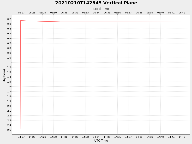
| 2021/02/10 14:26:55 GMT 2021/02/10 06:26:55 local |
2021/02/10 14:42:00 GMT 2021/02/10 06:42:00 local |
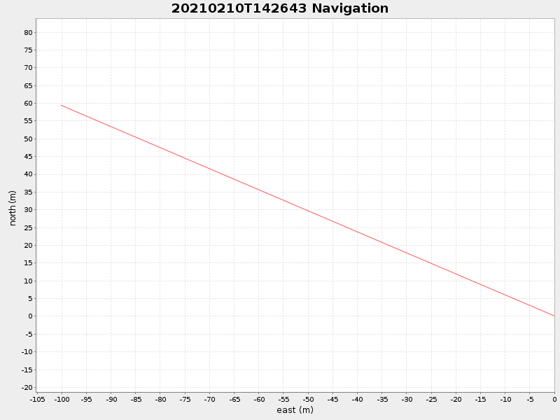
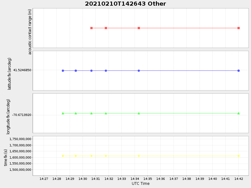
41.525219452925505 -70.67259491160891 |
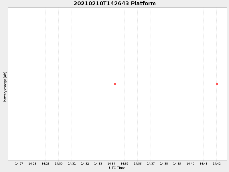
-0.0 Amp |
| Downloads: | ||||
| shore.nc shore.mat |
shore.kml shore.kmz |
shore.asc shore.dir |
shore.csv shore.log |
argos_24hr.kml argos_week.kml, argos_month.kml |
| Elapsed time since start: ... | Elapsed time since last valid data: ... |