Parent Directory
Parent Directory
Parent Directory
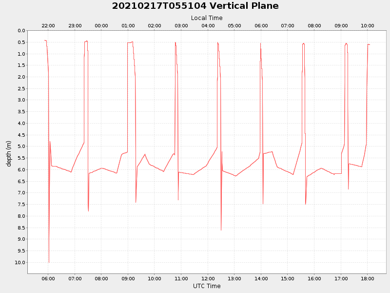
| Start time | End time | Last Latitude & Longitude |
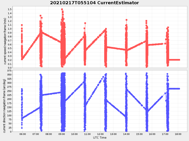
Current (1hr avg) |
|---|---|---|---|
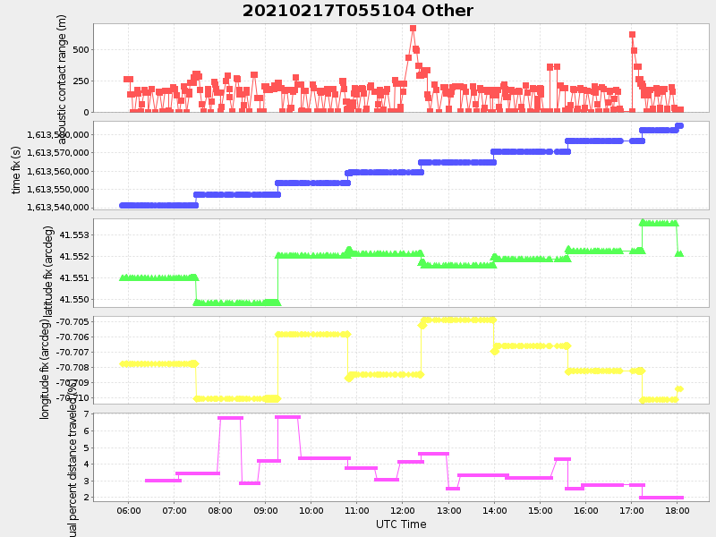
| 2021/02/17 05:51:05 GMT 2021/02/16 21:51:05 local |
2021/02/17 18:05:21 GMT 2021/02/17 10:05:21 local |
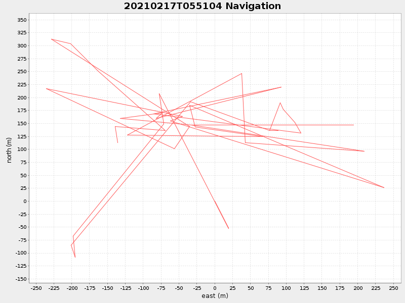
41.55186115815134 -70.70938865208247 |
2.23390418976277 Amp |
| Downloads: | ||||
| shore.nc shore.mat |
shore.kml shore.kmz |
shore.asc shore.dir |
shore.csv shore.log |
argos_24hr.kml argos_week.kml, argos_month.kml |
| Elapsed time since start: ... | Elapsed time since last valid data: ... |