Parent Directory
Parent Directory
Parent Directory
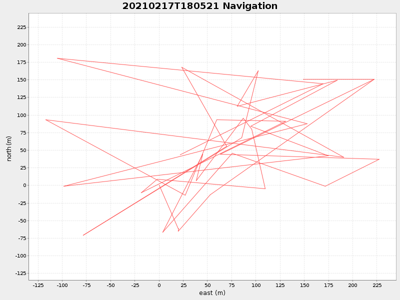
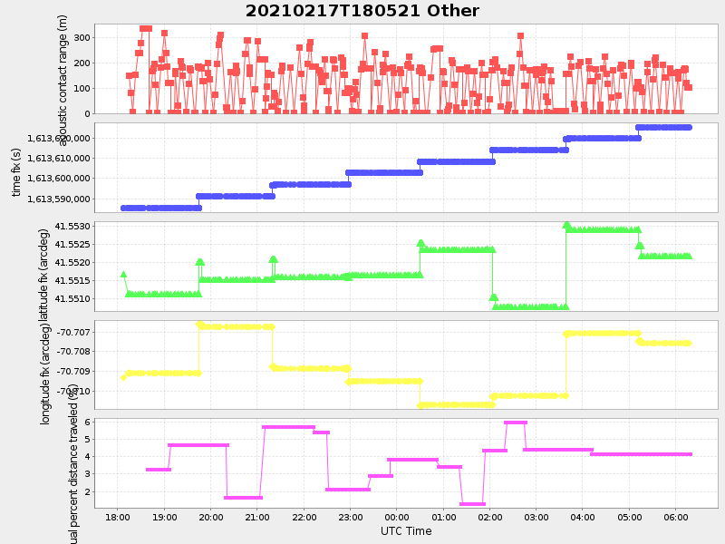
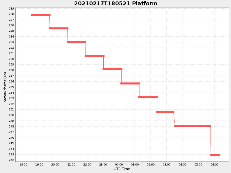
| Start time | End time | Last Latitude & Longitude |
Current (1hr avg) |
|---|---|---|---|
| 2021/02/17 18:07:20 GMT 2021/02/17 10:07:20 local |
2021/02/18 06:17:51 GMT 2021/02/17 22:17:51 local |
41.55205374789146 -70.70906689280963 |
4.9860048254520795 Amp |
| Downloads: | ||||
| shore.nc shore.mat |
shore.kml shore.kmz |
shore.asc shore.dir |
shore.csv shore.log |
argos_24hr.kml argos_week.kml, argos_month.kml |
| Elapsed time since start: ... | Elapsed time since last valid data: ... |