Parent Directory
Parent Directory
Parent Directory
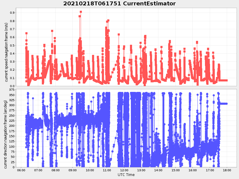
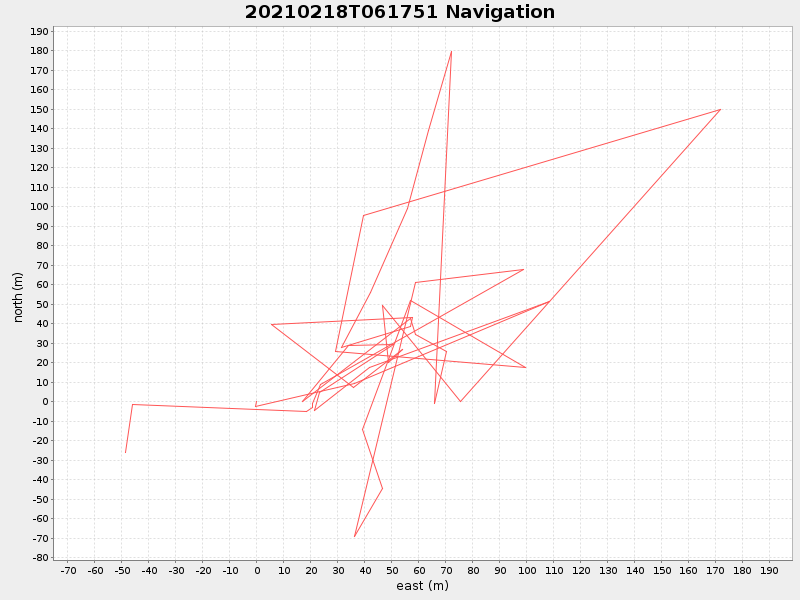
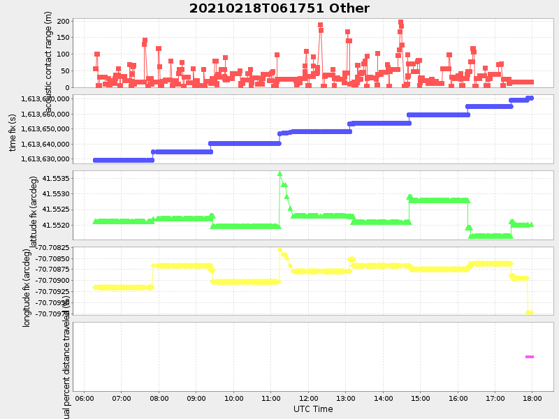
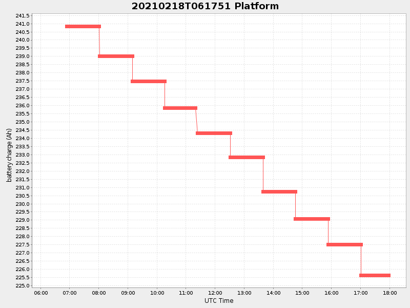
| Start time | End time | Last Latitude & Longitude |
Current (1hr avg) |
|---|---|---|---|
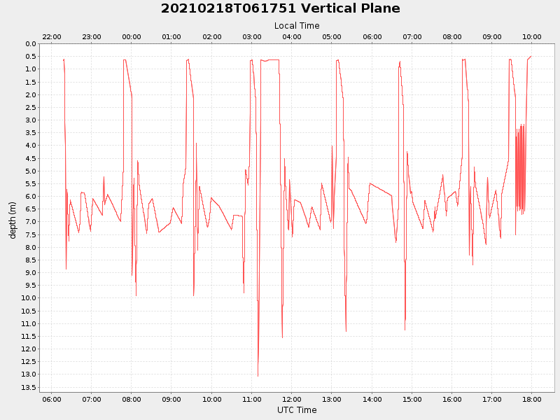
| 2021/02/18 06:17:52 GMT 2021/02/17 22:17:52 local |
2021/02/18 17:58:38 GMT 2021/02/18 09:58:38 local |
41.55180148654383 -70.70975359029043 |
1.865978405329992 Amp |
| Downloads: | ||||
| shore.nc shore.mat |
shore.kml shore.kmz |
shore.asc shore.dir |
shore.csv shore.log |
argos_24hr.kml argos_week.kml, argos_month.kml |
| Elapsed time since start: ... | Elapsed time since last valid data: ... |