Parent Directory
Parent Directory
Parent Directory
| Start time | End time | Last Latitude & Longitude |
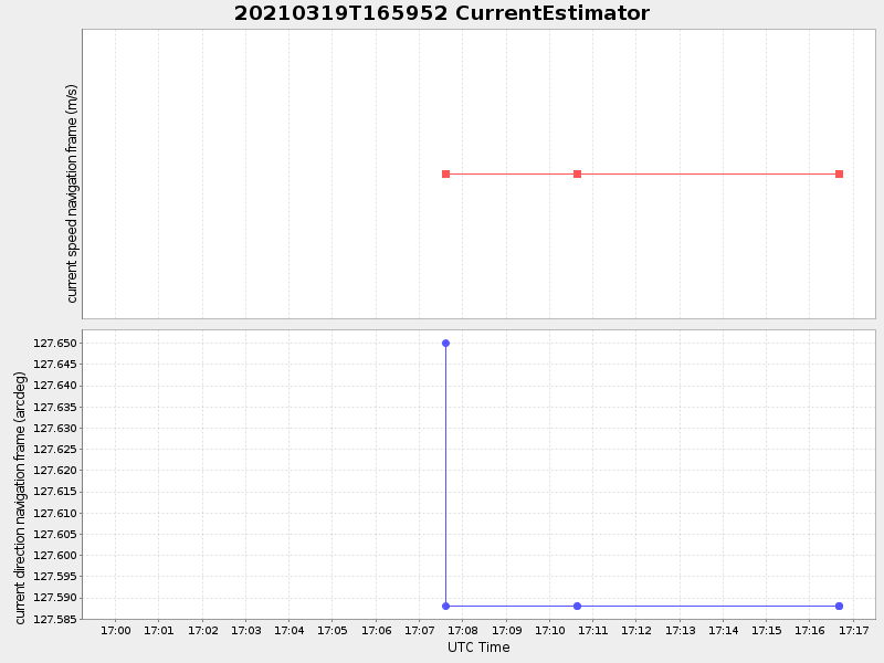
Current (1hr avg) |
|---|---|---|---|
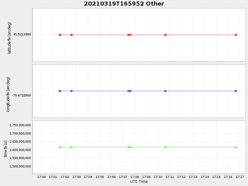
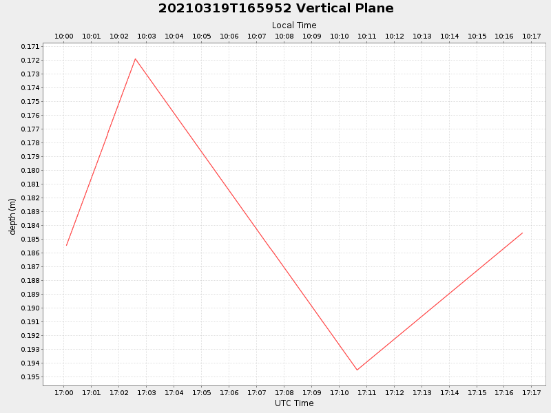
| 2021/03/19 17:00:04 GMT 2021/03/19 10:00:04 local |
2021/03/19 17:16:40 GMT 2021/03/19 10:16:40 local |
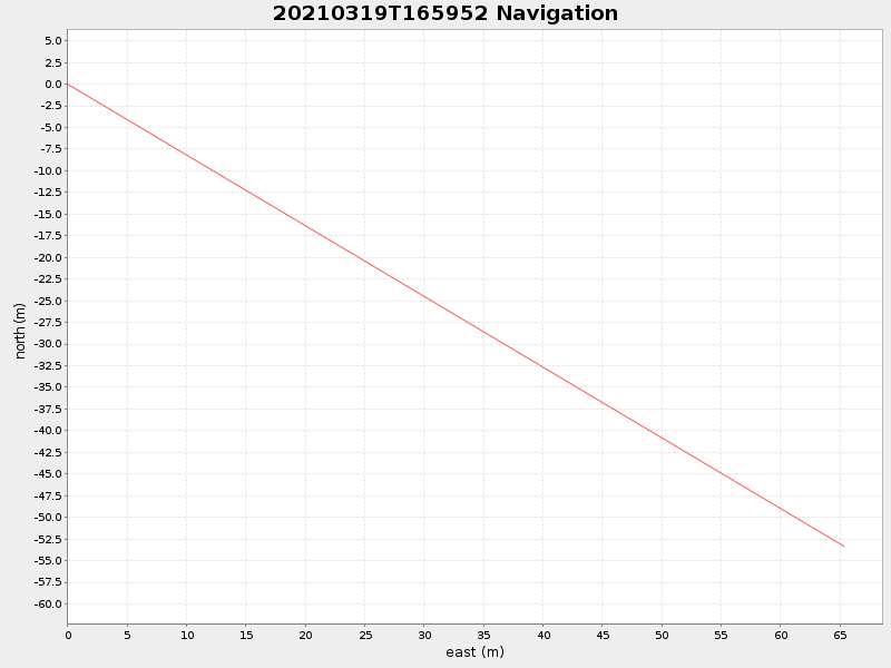
41.520857887304494 -70.67149578059225 |
-0.0 Amp |
| Downloads: | ||||
| shore.nc shore.mat |
shore.kml shore.kmz |
shore.asc shore.dir |
shore.csv shore.log |
argos_24hr.kml argos_week.kml, argos_month.kml |
| Elapsed time since start: ... | Elapsed time since last valid data: ... |