Parent Directory
Parent Directory
Parent Directory
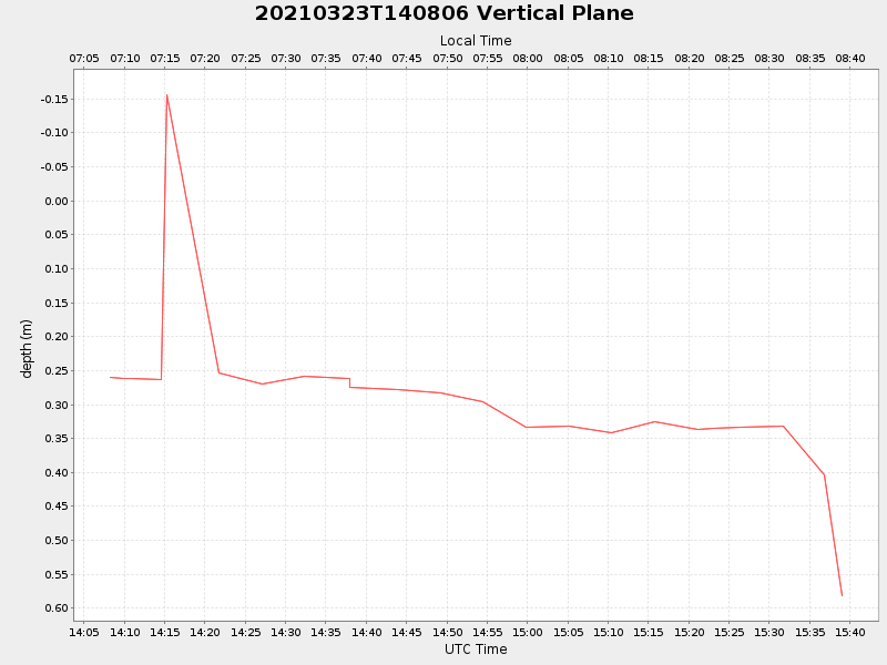
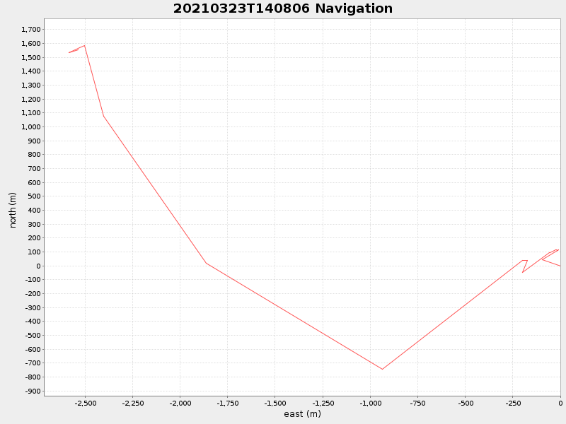
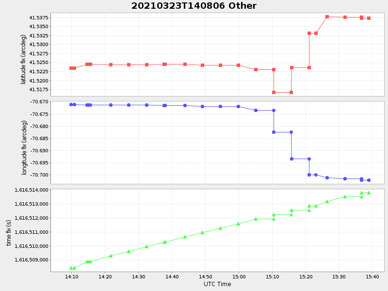
| Start time | End time | Last Latitude & Longitude |
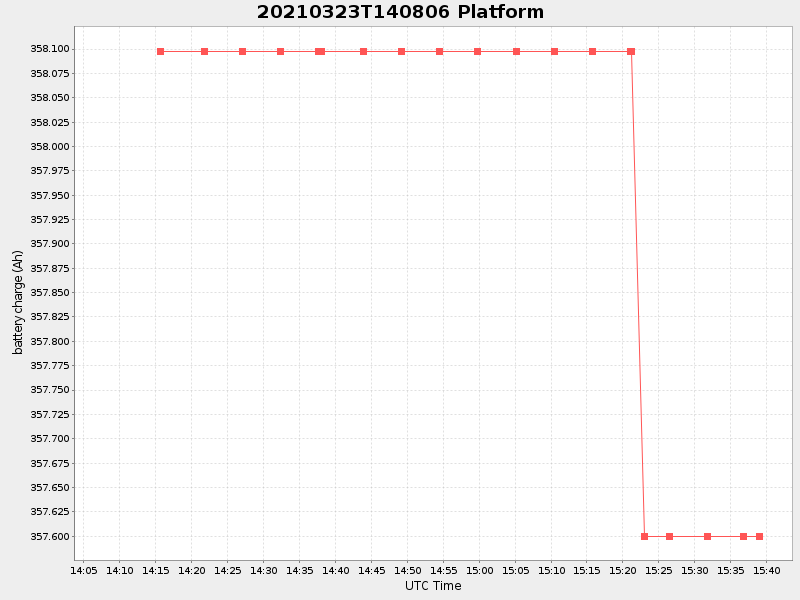
Current (1hr avg) |
|---|---|---|---|
| 2021/03/23 14:08:18 GMT 2021/03/23 07:08:18 local |
2021/03/23 15:38:59 GMT 2021/03/23 08:38:59 local |
41.53740675239439 -70.70164611489123 |
0.48990878454155046 Amp |
| Downloads: | ||||
| shore.nc shore.mat |
shore.kml shore.kmz |
shore.asc shore.dir |
shore.csv shore.log |
argos_24hr.kml argos_week.kml, argos_month.kml |
| Elapsed time since start: ... | Elapsed time since last valid data: ... |