Parent Directory
Parent Directory
Parent Directory
| Start time | End time | Last Latitude & Longitude |
Current (1hr avg) |
|---|---|---|---|
| 1996/02/13 04:50:24 GMT 1996/02/12 20:50:24 local |
2021/03/23 20:49:55 GMT 2021/03/23 13:49:55 local |
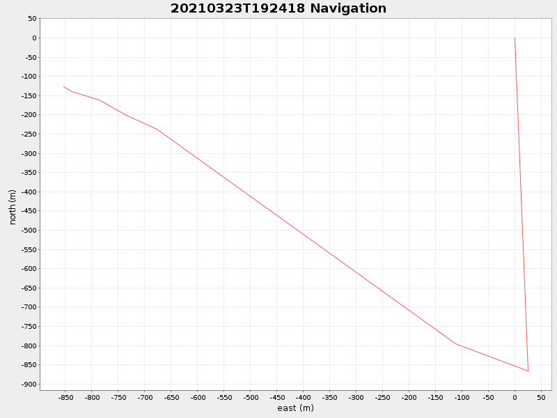
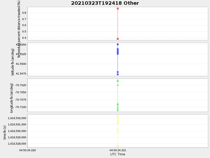
41.55391316725829 -70.71134862705838 |
-0.0 Amp |
| Downloads: | ||||
| shore.nc shore.mat |
shore.kml shore.kmz |
shore.asc shore.dir |
shore.csv shore.log |
argos_24hr.kml argos_week.kml, argos_month.kml |
| Elapsed time since start: ... | Elapsed time since last valid data: ... |