Parent Directory
Parent Directory
Parent Directory
| Start time | End time | Last Latitude & Longitude |
Current (1hr avg) |
|---|---|---|---|
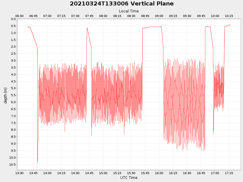
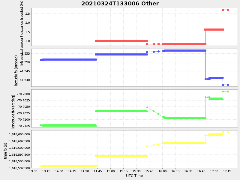
| 2021/03/24 13:38:53 GMT 2021/03/24 06:38:53 local |
2021/03/24 17:16:35 GMT 2021/03/24 10:16:35 local |
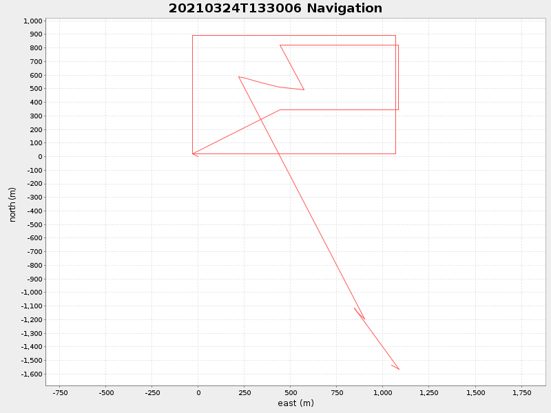
41.53751889981502 -70.69943748417718 |
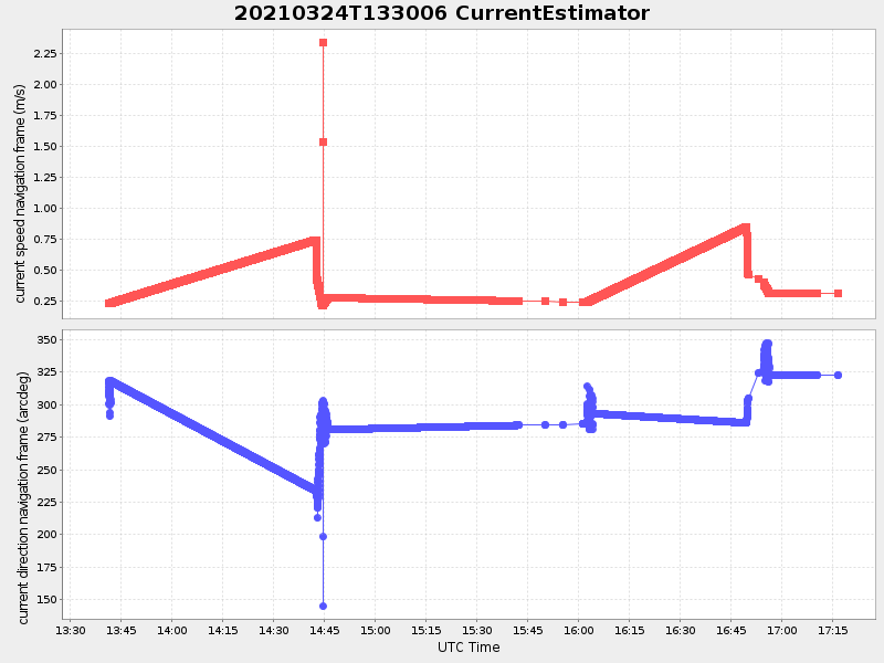
-0.0 Amp |
| Downloads: | ||||
| shore.nc shore.mat |
shore.kml shore.kmz |
shore.asc shore.dir |
shore.csv shore.log |
argos_24hr.kml argos_week.kml, argos_month.kml |
| Elapsed time since start: 37197:05 | Elapsed time since last valid data: 37193:27 |