Parent Directory
Parent Directory
Parent Directory
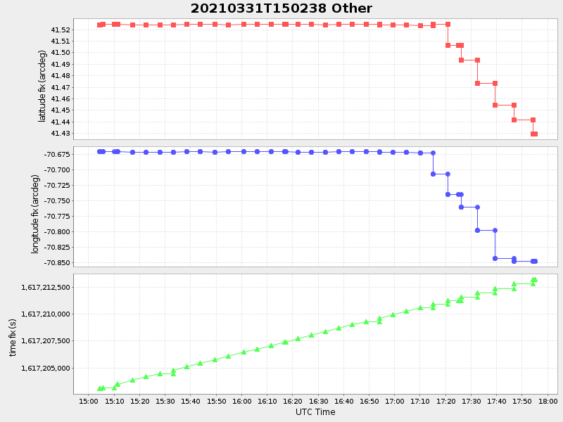
| Start time | End time | Last Latitude & Longitude |
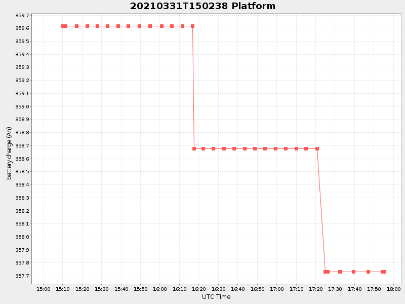
Current (1hr avg) |
|---|---|---|---|
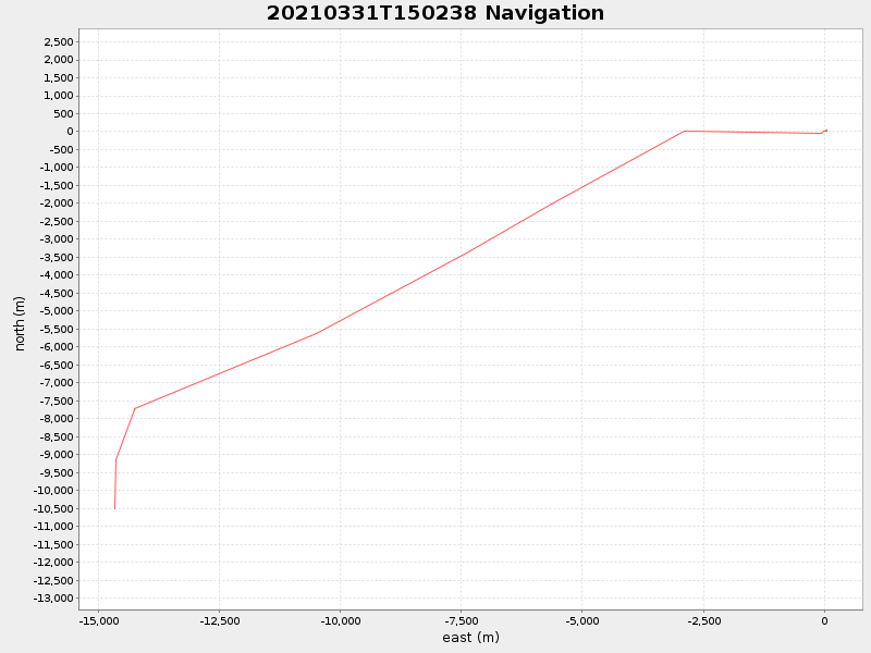
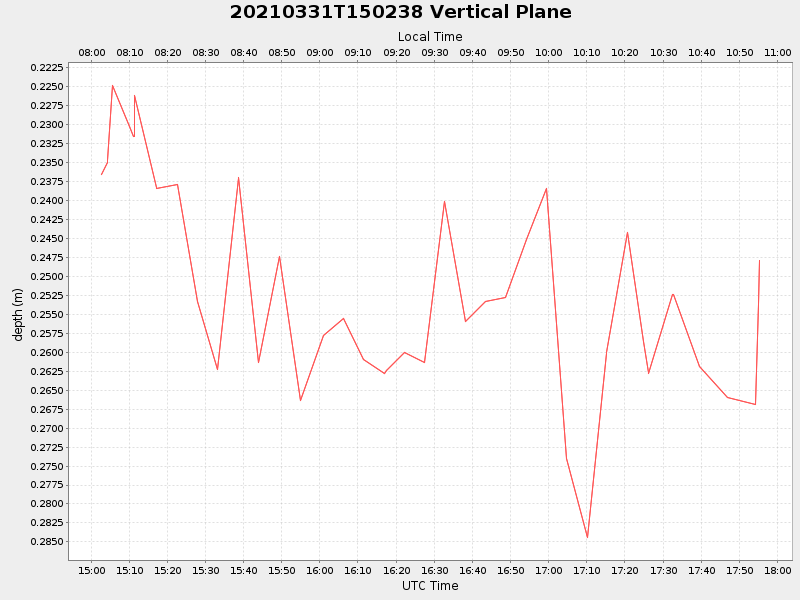
| 2021/03/31 15:02:49 GMT 2021/03/31 08:02:49 local |
2021/03/31 17:55:12 GMT 2021/03/31 10:55:12 local |
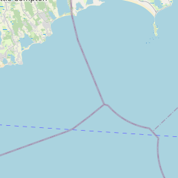
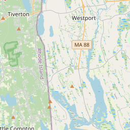
41.42964266653086 -70.84755083252128 |
0.9250596214383698 Amp |
| Downloads: | ||||
| shore.nc shore.mat |
shore.kml shore.kmz |
shore.asc shore.dir |
shore.csv shore.log |
argos_24hr.kml argos_week.kml, argos_month.kml |
| Elapsed time since start: 37027:03 | Elapsed time since last valid data: 37024:11 |